Trailhead › Box Factory Park
Directions
Measure from the intersection of US550 and CO62 on the east side of Ridgway, turn west onto CO62, drive across the bridge over the Uncompahgre River, continue through town and go up the hill and continue for about 5.5 miles total to the turnoff for County Road 7 which will be on the left (or south side of the highway). From that turnoff, continue another 1.5 mile on CO62 to the turnoff for CR9. Once onto CR9, drive 6.7 miles generally south to a cattle guard crossing that marks the beginning of National Forest Service land. Some passenger vehicles may want to park here, but keep in mind that some people pull horse trailers up to this point and use the spot for a turn around area. For all others, continue another mile to Box Factory Park. There is a low water crossing of the West Fork of Dallas Creek, just before arriving at the meadow.
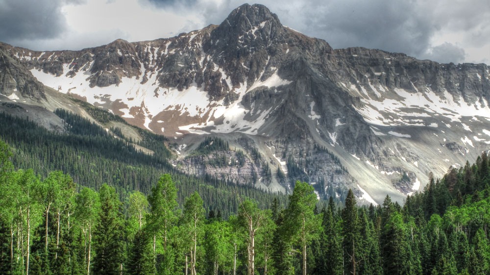
Camping
The best camping is at Box Factory park. This long, open meadow has plenty of room and is surprisingly flat. There are no facilities here and there are no Forest Service campgrounds on the drive in. Since much of the drive on CR9 is through private and /or BLM land, we advise only trying to camp once you are on National Forest land.