LoJ: #609 (Pre-LiDAR #608) / 13,048' UN 13048 Formerly UN 13051
Peak Summary
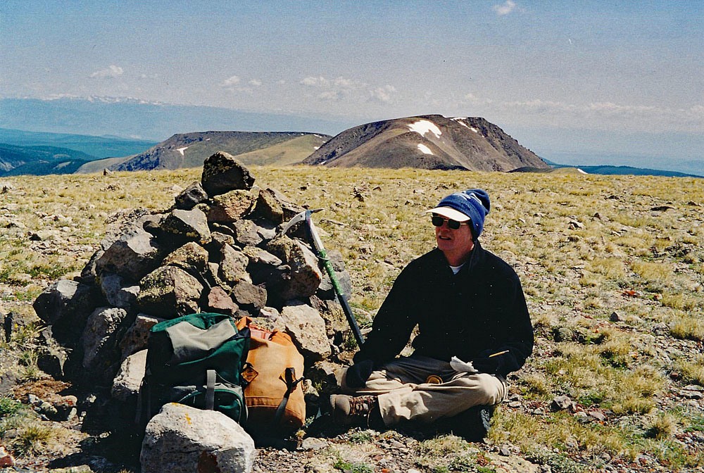
UN 13,048 (formerly UN 13051) is yet another Class 2, mostly tundra summit located above Big Blue Creek in the Uncompahgre Wilderness. The round-trip hike is a fairly long day, especially if combined with UN 13,015, (formerly UN 13016) but the hiking is very easy. Our route accesses this summit from the Nellie Creek/Uncompahgre trailhead so a minimum stock 4WD is required. If you enjoy tundra hiking, this is one of the best. Lidar reduced elevation by 3 feet.
UN 13,048 South Slope Route
-
-
Nellie Ck - Uncompahgre Peak TH
Directions begin from Lake City. From Gunnison, go west on SH50 to the intersection near the beginning of Blue Mesa Reservoir with SH149 and turn south. From Montrose, drive east on SH50 to the east end of Blue Mesa Reservoir for the same turnoff on SH149. Drive west and south on 149 to Lake City, just over 45 miles from the previous intersection. Once in Lake City, watch for either 3rd or 2nd street. Turning west on either will take you to Bluff St. in two blocks and a left turn (south). 2nd St. is considered the "official" access to CR20 which heads west following Henson Creek, but if you take 3rd St., it passes by a nice city park with restroom and picnic tables for those who need a break before proceeding further.Once on CR20 (on the Gunnison National Forest map this is labelled as BLM3303), drive 5.2 miles to the turnoff for Nellie Creek which is signed and turns off to the north (FR877). Coordinates are: N 38° 01' 13.88" W 107° 24' 02.68". Standard clearance passenger vehicles should not attempt to go up this road. A short distance up the Nellie Creek road is some camping, (several possible sites) but camping is not permitted along CR20 in this section of the road. To proceed further up the Nellie Creek road, a minimum stock 4WD is best to have. The road starts out kind of rough and with potholes as it passes the initial campsites and then improves in a relative sense. While rocky in stretches, there are never any difficult places up to the creek crossing. Along this stretch there are a couple other campsites right off the side of the road. In 2.0 miles, the road crosses from the east to the west side of Nellie Creek, then climbs a steep switchback and continues generally north. In another .4 mile, it makes a hard left while another road veers off to the right. This older road gives access to Crystal Peak. In another mile, the road to the trailhead begins to level out in an open meadow. From the meadow it's another .8 mile to the trailhead from there for overall mileage of about 4 from CR20. Plan on this drive taking a minimum half hour or longer depending on how much you want to rattle your vehicle.
Camping
The parking area and vicinity at the trailhead offers some primitive campsites but the ground here is not very level, so the best campsites are about a quarter mile back in the trees where there are several good sites. There's also good opportunities back in the long, wide open meadow. On summer weekends, expect the trailhead to be crowded and camp sites more difficult to find. Since Uncompahgre Peak is the 6th highest 14er, it attracts a lot of attention.
Route Description
Year Climbed: 2003For UN 13,048 (Formerly UN 13051) and UN 13,015, (formerly UN 13016) head north on the very-well established Uncompahgre Peak trail # 239 (or #6239 on FS Topo 2016). This trail follows up along Nellie Creek then climbs out of the creek drainage at about three-quarter mile and switchbacks to the left. Right at that switchback, leave the Uncompahgre trail and head north on another trail (#232 or 6232) that gains elevation on several switchbacks to a pass at 12,380 ft. Coordinates for this intersection are: N 38° 04' 06.81" W 107° 25' 56.35". At the pass, continue down on #232, losing around 1,000 feet in elevation and drop into the Big Blue Creek drainage. The descent starts out in a large tundra basin with lush tundra surrounding the trail. At 11,900 feet, the trail enters some trees. In 1994 and 2003 there was a beautiful campsite here utilized by shepherds. There are also some other campsite opportunities further along the trail. Follow the well-used trail to a crossing of the creek. Where the trail crosses the creek, it has entered into a broad, open meadow.
Once across Big Blue Creek hikers can use one of two options: The first would be to follow the "Fall Creek Trail #231 all the way up the vast tundra basin to the pass between Silver Mtn. and UN 13,048 at 12,700 ft. From the pass, then turn right and hike up the broad tundra ridge to the tundra/chiprock summit. The second option would be to take a more direct approach and after crossing Big Blue Creek, hike toward the stream that drains the tundra basin south of Silver and UN 13,048, cross over the ravine created by that stream at about 11,700 ft., then head due north to the summit of UN 13,048 hiking on almost all tundra. The hike up this south slope is completely uneventful. The best part will be the summer wildflowers. This direct approach is a little steeper but still falls within what we would call a "mellow" ascent, and would shave off a little mileage. If continuing on to UN 13,015 any mileage you can save may be appreciated.
Additional BETA
Links to other information, routes & trip reports for this peak that may be helpful. -
