Click thumbnail to view full-size photo + caption
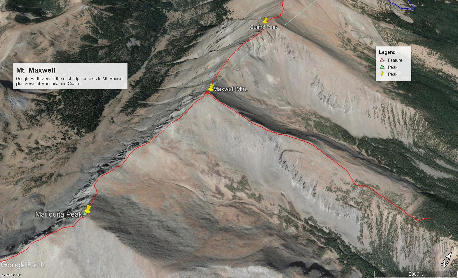
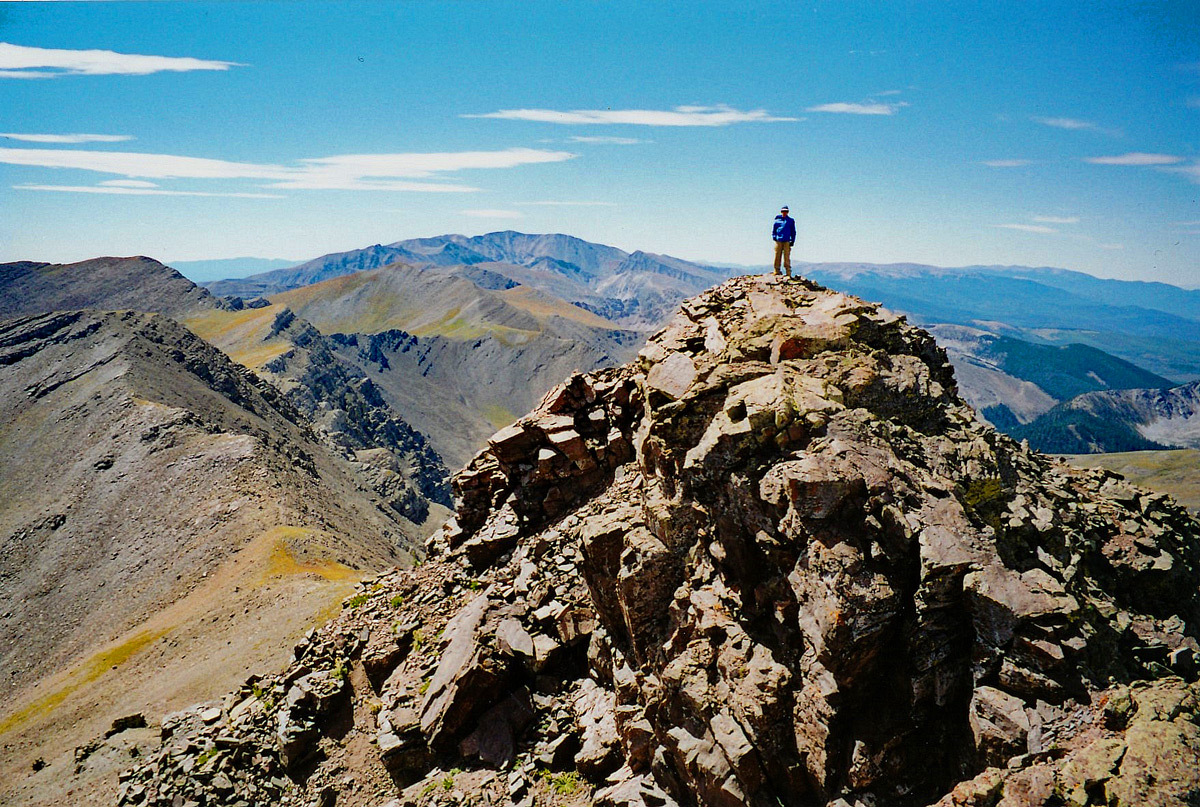
The mileage and elevation gain estimates are based on assuming a start from 11,600 ft. With 4WD, you can actually drive a little farther than that. From wherever you manage to park, continue up the road until it ends, then work your way up west to a bench of dwarf trees that will then open to the broad, lower, east ridge of Maxwell. Follow the ridge upward. It will progressively narrow. Much of the hiking will be over grassy tundra, but that will give way to more of an embedded rock - tundra mix and finally chiprock as you near the summit. A couple hundred feet below the summit, there will be some rocky outcrops that can be easily avoided on the south side of the ridge. Nothing need exceed Class 2. Time from car park to summit was well under two hours. In 2004, there was a small summit cairn and the remnants of a forest service sign, probably intended to mark the terminus of Federal land. Hiking north from here will keep you within San Isabel NF. If you turn south from Maxwell, you will immediately be off national forest land and will be entering private property. Do so at your own risk. Provision of the following information is not to be construed as an endorsement to violate the private property rights of the landowners.
On the west side of the main ridge, that property is part of the Forbes - Trinchera Blanca Ranch which is held as a "conservation easement" and managed by Colorado Parks & Wildlife. We do not know who owns the land on the east side of the ridge. It appears to us that the only people welcome on the Trinchera Blanca Ranch are paying guests, such as hunters. No mention is made of hiking/climbing. If you wish to inquire about access try the following: [email protected] or 719-379-3263. (There is also a "north" unit of the Trinchera Ranch which apparently includes Blanca, Little Bear and Mt. Lindsey, or the border of this property reaches the summits of these peaks on the south and east sides.)
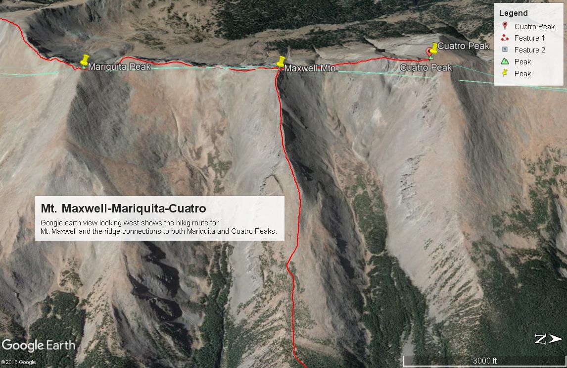
From Maxwell, it's .75 mile north on a connecting ridge to Cuatro. We have not done that ridge section so are unable to offer definitive information about the traverse. On GE, it appears that a descent to the connecting saddle will go easily and the first part of the upclimb to Cuatro will go at Class 2 on some tundra. But the upper part of the ridge is interrupted by a number of gullies and ribs that appear to offer some potential problems.
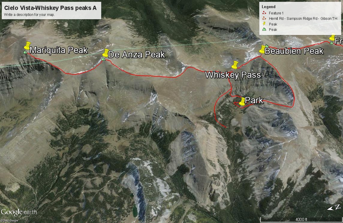
From Maxwell to Mariquita, it is a fairly rocky traverse, but it's still Class 2 and takes under an hour. De Anza is yet another 1.4 mile south on mostly rocky rubble down to the saddle and then changing over to sparse tundra and embedded small rocks to the summit. Still Class 2. De Anza may lie within the boundary of the Cielo Vista Ranch and as such, it may be possible to make arrangements with them to visit this area since at one time they were allowing climbers access to the west side of Whiskey Pass and the peaks along the central ridge located near the pass.
Open This Route in a New Window


