LoJ: #200 (Pre-LiDAR #206) / 13,579' Rosalie Peak
Peak Summary
The easy way: Drive up the Mt. Evans Road to Summit Lake and park. Then take a leisurely stroll along the road over to "Epaulie" and then on to Rosalie over mostly easy tundra/rock terrain.
The harder & longer but more sporting way: Drive HWY 285 and turn north on the Deer Creek Road past Harris Park to the end of the road and hike over steeper but still relatively easy terrain to Rosalie. Pre-Lidar elevation was 13,575.
Rosalie Peak- via Deer Creek TH Route
-
-
Deer Creek TH
Directions from the National Forest Service: Deer Creek Trailhead (9,280' elevation) This trailhead serves the Rosalie and Tanglewood Trails. Drive west from Morrison on US 285 approximately 25 miles to Park County Route 43. (Trails Illustrated and Google Earth show this as CR43. It's also identified as the Deer Creek Road.) ) Travel northwest on PC 43 approximately 9 miles. The trailhead is just past the Deer Creek Campground at the end of the road. PC 43 takes you past the Harris Park area where there is lots of development.
Camping
The closest campground is the Deer Creek CG, about .8 mile before reaching the trailhead.
Campsite Locations
Deer Creek › N 39° 30' 29.78", W 105° 33' 14.42"This is a fee-based, first-come, first-served campground with water and vault toilets.
Route Description
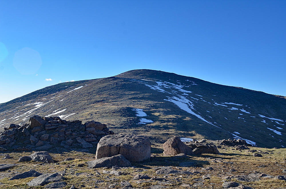
From the trailhead, walk west some and then take the trail fork to the right that heads up Tanglewood Creek to a saddle east of Rosalie Peak at 11,980 ft. The trail steepens considerably as it approaches this saddle, when it breaks out of the trees. From the saddle, turn west and follow the broad, mostly tundra ridge with embedded rock to the summit of Rosalie. It's also possible to include "Epaulie" on this hike as well. It should be noted that we have not actually hiked this route ourselves. This is to be regarded as a "proposed" route. We have added it for the convenience of Front Range hikers who do not want to use the Mt. Evans approach.
Additional BETA
Links to other information, routes & trip reports for this peak that may be helpful. -