LoJ: #427 (Pre-LiDAR #422) / 13,269' Antora Peak
Peak Summary
Antora Peak is an easy Class 2 hike that could include family. It is isolated from any other 13ers, located in an extreme southern section of the Sawatch Range and SW of Poncha Pass. The proposed trailhead can be reached by most vehicles with better ground clearance even though the Forest Service road is basically a single-track type road. With fairly close proximity to the Front Range, this can make for a good weekend climb and see some country and a group of gentle peaks that most will never visit.
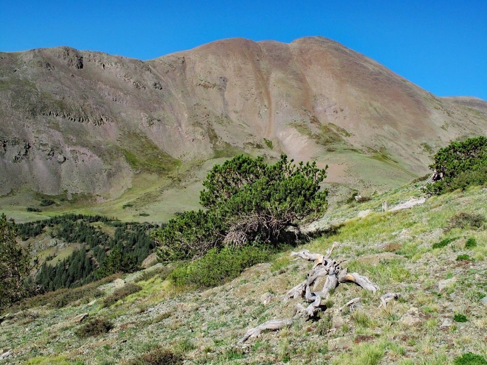
Antora Peak from Bonanza Route
-
-
Antora Peak - Bonanza TH
From US 285 and Poncha Springs, drive south on US285 over Poncha Pass to Villa Grove. - 21.6 miles. About 1,200 feet before/north of Villa Grove, turn west (right) onto LL-56 - a county road designation. The road is paved for the first 5 miles or so and then turns to a well-maintained, graded, gravel road all the way to Bonanza (15.4 miles), which is mostly a collection of ramshackle, aging cabins, most of which appear occupied. Do not turn left onto HH50, about seven miles in from US285. Once you arrive at Bonanza, continue straight through town onto what becomes FR862. About a mile beyond the town at a fork in the road, conditions deteriorate somewhat and the road to the left which continues as FR862, becomes more of a single track affair that is not too slow or difficult. This Forest Road 862, as it begins to swing to the west, also begins to gain elevation through aspen and conifer forest. Continue gaining elevation and you will come to a brief switchback to the right, then back to the left. Ignore the road that turns off to the right at the second switchback. Less than a mile later you will come to a junction of FR861 which is sharply to the left or FR862.2D around a curve to the right which leads to Mosquito Lake. Park where parking is available at this intersection just before the road curves to the right. This serves as the trailhead.
Camping
After the village of Bonanza there will be some at-large primitive places to pull off onto for the night. You could even camp or car camp at the proposed trailhead. There are no designated Forest Service campgrounds anywhere in this area. Much of the land along LL56 is BLM so there may be other permissible, primitive sites. The nearest FS campground is back around Poncha Pass. About 2 miles north of the pass, turn off to the west onto FR200 and follow it to the O'Haver Lake CG. This campground at 9,200 feet has 28 sites and basic facilities.
Click thumbnail to view full-size photo + captionRoute Description
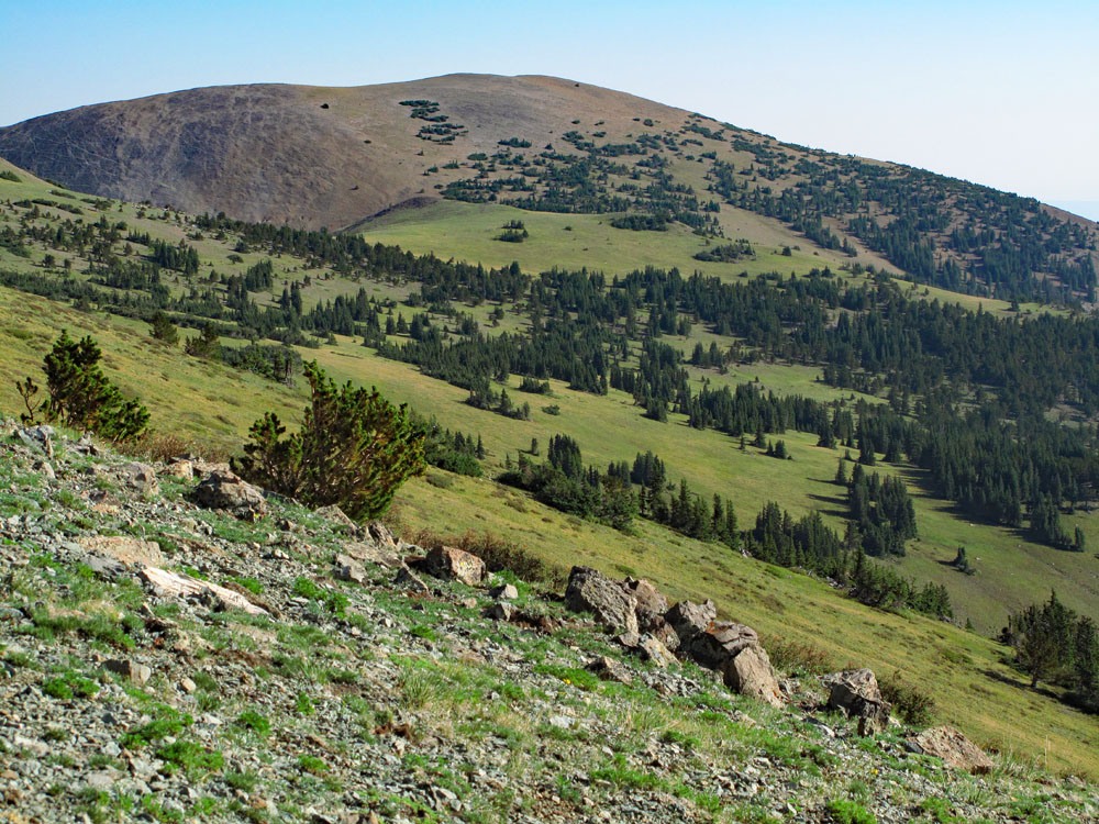
Year Climbed: 2012Begin this hike by walking along Kerber Creek, now a very small rivulet, which heads WNW. Soon, you will begin to encounter any number of old logging roads that lace this area along with abundant evidence of previous logging efforts. Follow the logging roads if they suite your purpose and direction, but eventually, they play out and it's best to begin taking more of a directional beeline toward your goal. The forest you're walking through is fairly open and easy to traverse. Follow a mostly WSW course through the trees aiming for a broad ridge extending off UN 12,574. The only difficult aspect of this hike is finding you way through the logged forest and all the old roads. Hikers may want to have the coordinates for Antora Peak in a GPS unit to help keep themselves on track toward the summit, because while in the forest, you do not have a good view of the peak. We intersected the broad ridge near the 11,384 ft. marker on the survey map. From here, you will soon leave the forest and begin the long hike across the tundra toward the pass on the north flank of Antora. Early on, we saw two bull elk moving across the ridge further up, but we never saw them again as they had already picked up our scent.
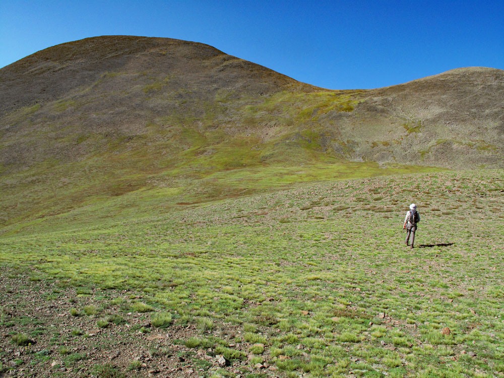
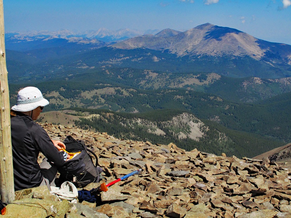
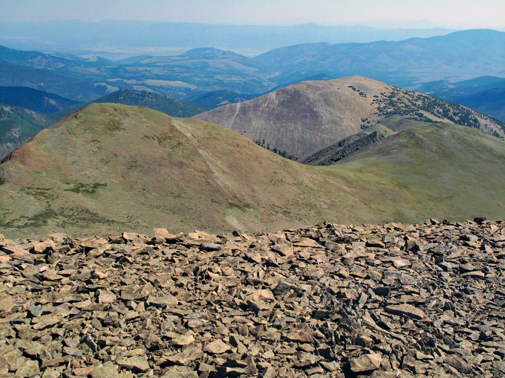
There’s not a whole lot to say about the remainder of this hike. It is virtually all easy class two except near the summit. Enjoy the easy stroll across all the tundra. Sometimes there are areas of scree, but never too aggravating. At the saddle just north of Antora, turn SW and head up tundra slopes that begin to give way to more rock, aiming for a smaller, higher saddle on the NW ridge of the peak, intersecting it at 12,900 or so. From this point on, the hike to the summit finish is mostly on rocky scree. We found a well-used trail through the scree and followed it to the top where we found a broken open summit register and something of a rock shelter. For the return trip, you may want to consider going over Pt. 12,860 and Pt. 12, 574, however, neither is a ranked summit. Otherwise, return as you came. Again, it may be somewhat helpful to have taken coordinates of where you parked your vehicle to help keep yourself on course for the return.
Additional BETA
Links to other information, routes & trip reports for this peak that may be helpful. -