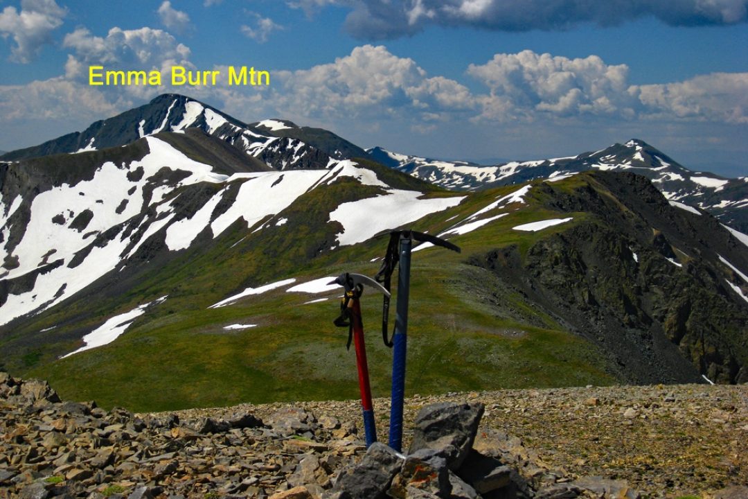
LoJ: #226 (Pre-LiDAR #231) / 13,544' Emma Burr Mountain

Peak Summary
A moderately short hike over mostly Class 2 terrain and tundra with a scenic approach from Mirror Lake. 4WD advised for closest access but passenger vehicles may be able to get as far as Mirror Lake. In early season, lake level may prevent further passage south up the road to Tincup Pass. Emma Burr can be easily sequenced with Tincup Peak (UN13,345). Lidar measurements added 5 feet to Emma Burr.
Southwest Basin and south saddle Route
-
-
Emma Burr/Mirror Lake TH
From the center of town in Gunnison: Drive north on SH135 for 17.4 miles to Almont. Turn right onto Forest Road 742 to Taylor Park Reservoir, all on pavement. At the intersection on the ESE corner of the reservoir, continue on FR765 to Tincup on graded dirt road suitable for all passenger cars. Almont to Tincup is 24.0 miles. From Tincup, turn left (east) on FR267 and drive 3.5 miles to Mirror Lake. Passenger cars with better ground clearance may be able to drive to Mirror Lake. From the lake, continue driving south. The road will quickly become a 4WD type road as it drops down to the east shore of the lake and then heads up the valley. In the earlier part of the season, high water in the lake may cover the road along the shore. Drive to the coordinates provided and park off the road as best you can. This particular location grants an easy access down to the creek with minimal willows to contend with, however, once you cross the creek you'll have a short encounter with some man-eating willows before you break through to more easily navigated forest.
A second starting point is further up the valley by about three to four tenths of a mile. At these coordinates: N38° 43' 37.71"; W 106° 26' 08.61" you can park and hike SW down to the creek easily, cross it and hike up the other side with less competition from willows.
Camping
There is a designated campground with vault toilets at Mirror Lake. Before arriving at Mirror Lake, there are some at-large, primitive sites as you drive up from Tincup. There's also a trailhead parking lot with vault toilets just a short distance below Mirror Lake where you may be able to car camp for a night. This is the Garden Basin Trailhead and is also a segment of the Continental Divide Trail. There's also a primitive site at the south end of the lake.
Campsite Locations
Mirror Lake › N 38° 44' 51.60", W 106° 25' 54.83"Elevation 11,010 ft.
Route Description
Year Climbed: 1998If using the first set of coordinates provided and a starting elevation of appx. 11,185 ft., you should be across from the large, WNW facing basin that climbs up to the low point saddle south of Emma Burr and north of UN13,345 (Tincup Mountain.) Best place on Google Earth to get down to the stream and cross with the least amount of willow-thrashing is here: N38° 43' 56.06' W 106° 25' 36.79". It's mainly on the east side of the creek where you'll have your short skirmish with the willows. (If it has rained recently, you may want to put on rain suits as you work through the willows, otherwise, expect to be generously showered.) Just beyond the willows, enter forest and begin working your way into the large basin above tree line.
If driving further up the valley to the second set of coordinates, hike down to the creek in a SW direction, so as to avoid any willows, cross over and head up an open chute, aiming for the edge of the trees on the north side of the chute to help avoid willows. Then angle back along the edge of the trees to the NNE to gain the same basin mentioned above.
Once in the large WNW facing basin, head up on moderately steep terrain with mostly tundra to walk on and hike all the way to the saddle at 12,900 ft. Though it does not show on the USGS quad, there may a stream flowing down this drainage. If hiking in from the more northerly coordinates, as you head up through the forest you may encounter an old cabin and another one at tree line. About half way up the basin, you may also find an old trail that switchbacks its way upward. This old trail would appear and disappear at times, so we largely ignored it. Once at the saddle, follow the ridge to the Emma Burr summit north, with increasing rock & talus amid the tundra.
For the return, hike back down by the same route, or continue along the south ridge to UN13,345 (Tincup Mountain.)
Additional BETA
Links to other information, routes & trip reports for this peak that may be helpful. -