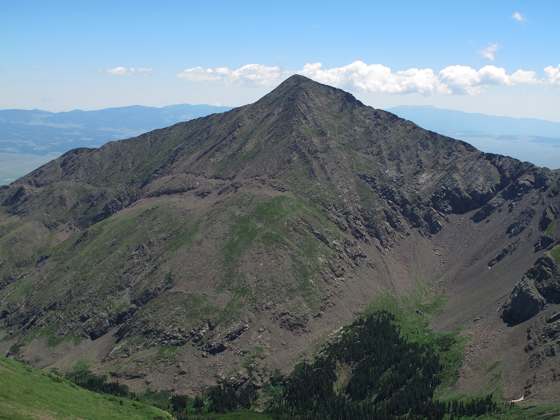
LoJ: #290 (Pre-LiDAR #291) / 13,454' Horn Peak

Peak Summary
A popular Sangre de Cristo day hike peak that is accessed by trail almost all the way to the summit. Generally easy class 2 hiking. Can be combined with Fluted Peak and Little Horn Peak for a much longer circuit route that begins and ends near the Horn Creek Ranch. Passenger vehicle accessible.
Horn Peak East Ridge Route
-
-
Horn Peaks and Fluted TH
From the town of Westcliffe, drive south on HWY 69 for approximately 4.5 miles and turn south onto CR119. In just over one mile, turn west onto CR130. Follow this road west for nearly 5 miles where the paved Horn Road veers to the left while the unpaved Little Horn Road continues west. Do not continue straight on Little Horn Rd. Follow CR130 (Horn Road) south, then turn right to avoid going into Horn Creek Ranch and follow the road around west, then south to the TH to a circle parking area with some trees and possible camping. The road will change from paved to graded dirt on this last section. The USGS Horn Peak quad does not show this last stretch of road to the trailhead. If using our CalTopo map provided, it's best to convert from the USGS view to the FS Topo 2016 view to accurately see where the trailhead actually is. There is a vault toilet at the TH, but nothing else.
Alternate route: Drive south from Westcliffe on HWY 69 3.4 miles and turn right (west) onto Schoolfield Road (CR140). Go one mile, then turn back south onto Macey Lane and drive south for two miles to Horn Road and then turn right (west) and drive 3.5 miles to Horn Creek Ranch. At a signed junction by the ranch entry, turn right again and drive another quarter mile to the TH.
Camping
In the past, we have been able to camp right at the trailhead, or in the circle parking area past the TH, but keep in mind that Horn Creek Ranch and other properties are very close by and there are no facilities at the TH other than a vault toilet. Also, regulations may have changed since we were there. The camping is certainly not "private."
Click thumbnail to view full-size photo + captionRoute Description
Year Climbed: 2000In our account, we have sequenced Horn Peak with Fluted and Little Horn for a very long day, but Horn may be done as a single summit as well. One way and round trip mileage shown are for doing Horn Peak alone.
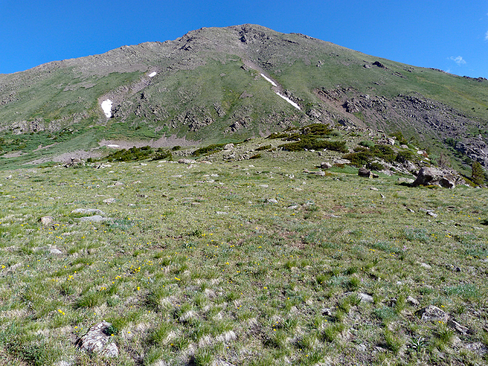
From the Horn Creek TH, find the more northern trail that heads west and joins the Rainbow Trail in about 2,000 feet. Turn north up the Rainbow Trail for a short distance to the Dry Creek/Lakes Trail #1343. From the Dry Creek/Rainbow Trail junction, turn west up the Dry Creek trail and follow it for nearly 3 miles as it takes you along the stream. At 10,600 feet, the trail begins to pull up away from the stream on the north slope to gain altitude. At 10,900 feet, you should come to a trail intersection. The Dry Creek trail continues south, back toward the creek, while the old Horn Creek trail ascends steeply north to gain the east ridge of Horn Peak. Once on the ridge, continue hiking on the trail SW, then west up through the trees to treeline. In the higher tundra, the trail begins to dissipate. Just continue walking over Class 2 terrain of tundra, embedded rocks, and as you approach the summit, more rocks and rubble until you reach the actual summit. Admire the vast view of the Wet Valley below you to the east. It should be noted that this description is for what may be an older trail approach (which may be "closed") to Horn Peak and a newer route, preferred by the Forest Service has been introduced as indicated in this SummitPost report. That route takes you another 3/4 mile past the Dry Creek trail junction and then heads west, eventually crossing Hennequin Creek and gaining a NNE ridge of Horn peak at the elevation marker of 12,665 ft. This will add more mileage. The USGS quad only shows the old trail. To see the new trail, convert our map on CalTopo to the FS2016 version.
Either return as you came, or continue to Fluted Peak for the three-summit sequence and a much longer day.
Additional BETA
Links to other information, routes & trip reports for this peak that may be helpful. -