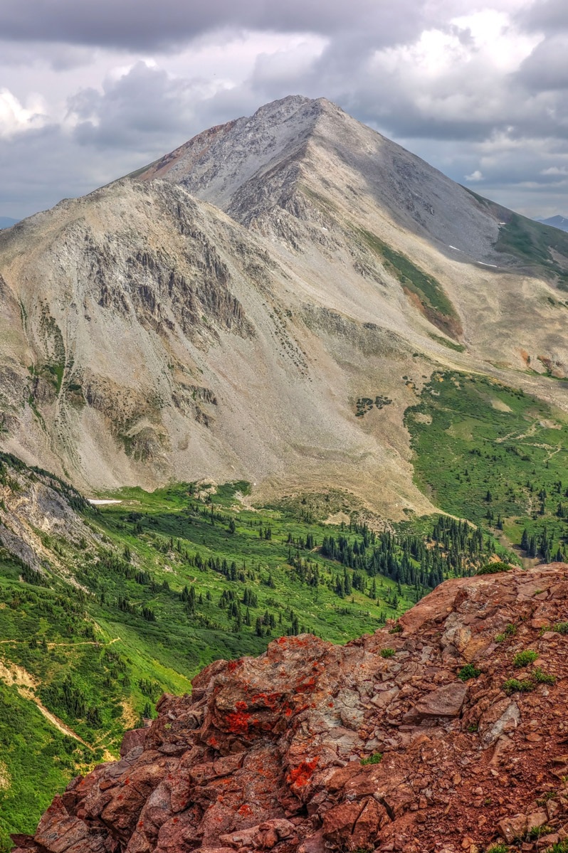
LoJ: #299 (Pre-LiDAR #296) / 13,438' Taylor Peak A

Peak Summary
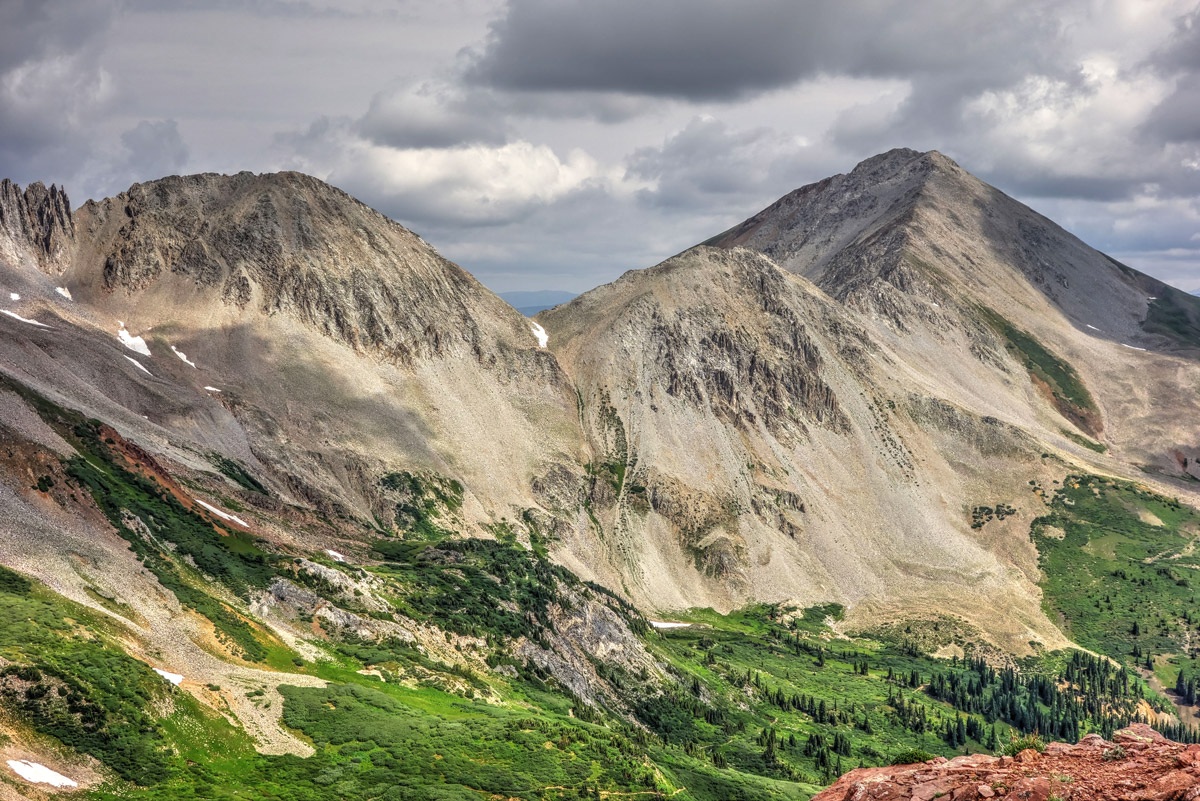
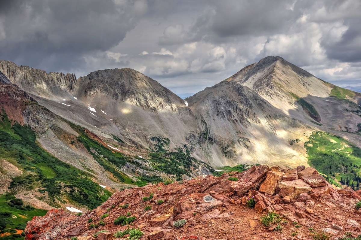
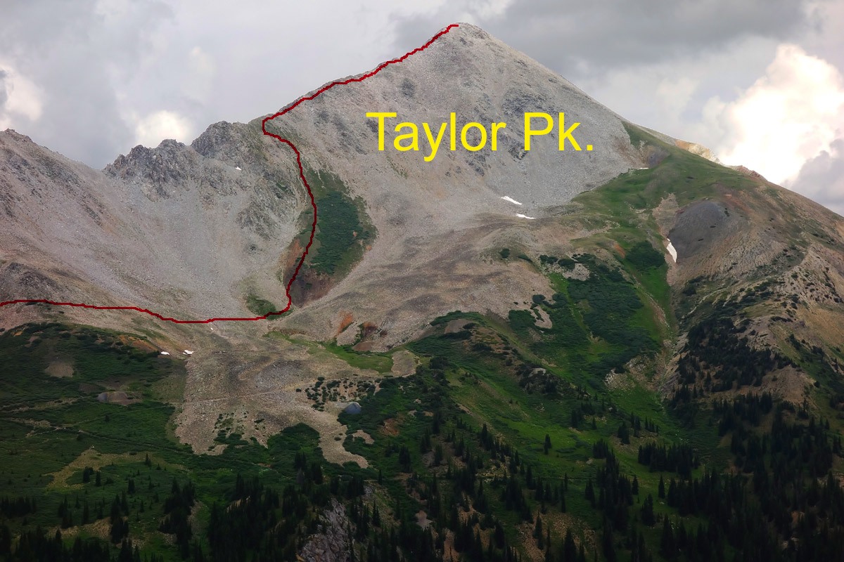
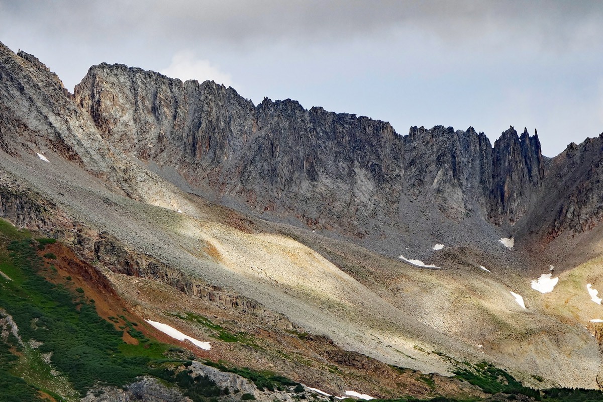
Taylor Peak A, NE Ridge Route
-
-
Taylor River TH
From the center of the Town of Gunnison, drive north on HWY 135 to Almont. Turn right onto road 742 and continue to Taylor Park Reservoir on pavement. When you arrive at the intersection just east of the reservoir, turn left and continue north on 742. After the turnoff for Cottonwood Pass, the road turns to a well-maintained, graded gravel road for the next 8 or more miles to the Dorchester Campground. Continue for another five miles to the abrupt end of 742, in the headwaters of the Taylor River. Much of this last 5 miles was in 1998, still an decent road that passenger vehicles with better-than-average-clearance could drive.
Camping
There are numerous small forest service campgrounds between Almont and Taylor Park. You can count 8 of them on the Gunnison NF map. From the reservoir north, there are another 4, plus numerous opportunities to turn off somewhere and primitive camp. You can also camp right at the end of the road, and in the last two miles before the end, there are several primitive sites along the south side of the road.
Click thumbnail to view full-size photo + captionRoute Description
Year Climbed: 1998From the end of FR742, hike NNW, directly up the forested slope until you intersect a 4WD road that runs generally NE to SW. This bushwhack will involve crossing numerous dead trees, logs etc. This road you intersect is FR761.1D and ties in with FR761 near the summit of Taylor Pass. If you've kept the unnamed creek that drains the basin above to your left and within earshot, then you should be able to walk a short distance either left or right on this 4WD road and spot another track heading off to the NW. This little road soon ends at the remains of an old cabin after it crosses the creek. The small pond that shows on the USGS map at 11,480 ft., seems to no longer exist when you examine this area on Google Earth.
From the remains of the old cabin, continue hiking in open country to the NNW, following the west side of the stream course. In about a 3/4 mile after crossing FR761.1D, you should be arriving at the foot of the broad NE ridge of Taylor Peak. Turn west and begin to ascend up the moderately steep ridge over mostly tundra and continue the Class 2 hiking as the ridge heads more to the SW. A few hundred feet below the summit, don't be surprised when the tundra gives way to rock and rubble. All good things must come to an end. But now, the summit is within site. Strong hikers can make this ascent in 2.5 hours or less, others may plan a more leisurely 3 to 3.5 hours. Return by a similar route to make this an easy half day hike.
For dedicated peakbaggers: From the summit of Taylor, continue over to Star Peak. This will turn your half day hike into a 3/4 day hike and will offer the challenges of rocky boulder fields and/or ridges. See the write up for Star Peak for more details.
Additional BETA
Links to other information, routes & trip reports for this peak that may be helpful. -