LoJ: #530 (Pre-LiDAR #514) / 13,145' UN 13145 Formerly UN 13159
Range ›
San Juan Range
Quadrangle ›
Ophir
Summit Location ›
 N 37° 51' 42.38", W 107° 45' 25.33"
(Not Field Checked)
N 37° 51' 42.38", W 107° 45' 25.33"
(Not Field Checked)
Neighboring Peaks ›
Bridal Peak [Formerly T11]
Lookout Peak
Three Needles
Peak Summary
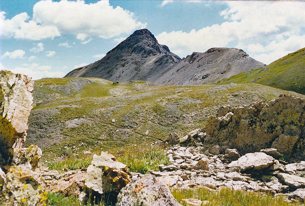
By itself, a Class 2+ summit situated above the beautiful and seldom visited Mill Creek Basin and Columbine Lake, SW of Red Mountain Pass. We have sequenced this summit however with Three Fingers and T.11 for a much longer day. 4WD is not required but useful and can shorten mileage. There is an additional route for accessing this peak alone from US550 south of Red Mountain Pass. Lidar reduced elevation of this summit by 14 feet.
Trailheads
“All men make mistakes, but married men find out about them sooner.” Red Skelton
Warning!
Climbing peaks can be dangerous! By using this site and the information contained herein, you're agreeing to use common sense, good judgement, and to not hold us liable nor sue us for any reason. Legal Notice & Terms of Use.