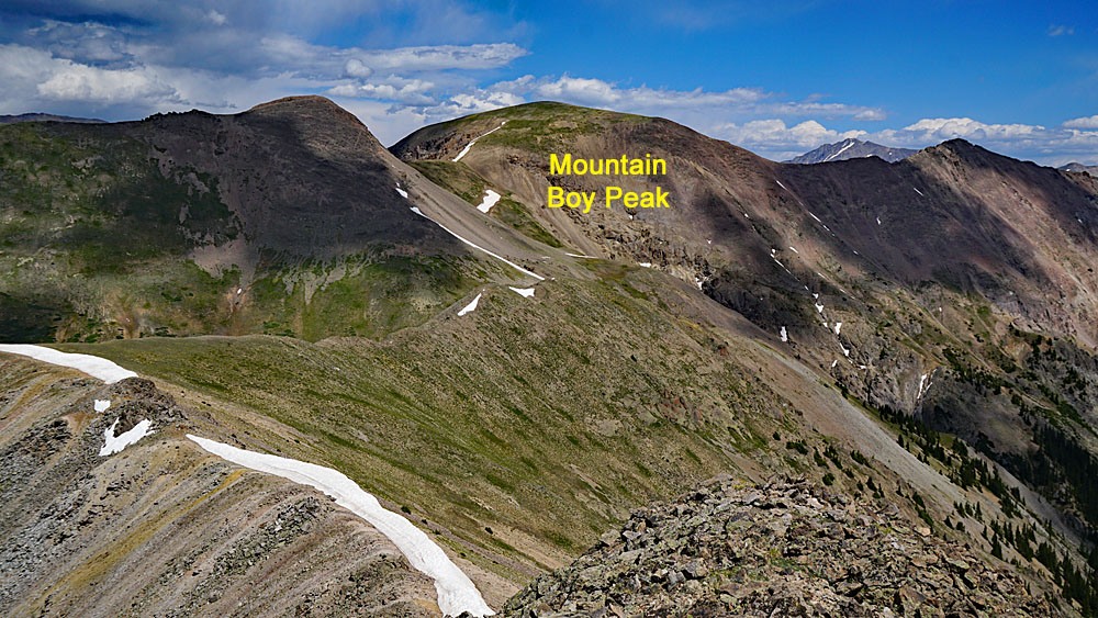
LoJ: #489 (Pre-LiDAR #491) / 13,204' "Mountain Boy Peak" Formerly UN 13198
Peak Summary
Mountain Boy Peak takes its name from Mountain Boy Park and the gulch just north of the summit. It's located south of Independence Pass which serves as the trailhead, so is easily accessible to any passenger vehicle. The hike is an easy Class 2 and offers a chance to view some wildlife. It can also be climbed early summer with little difficulty. The route provided here also takes hikers over a "soft-rank" summit called "Igloo Peak." Lidar increased elevation by 6 feet.
Mountain Boy Peak NW Ridge Route
-
-
Independence Pass TH
Two possible access routes but both involve Highway 82:
From US HWY 24 between Leadville and Buena Vista, take the State HWY 82 west, around Twin Lakes and to the summit of Independence Pass. Park at the pass summit.
From Glenwood Springs/Aspen, drive on State HWY 82 through Aspen and continue driving one of Colorado's most thrilling passes to the summit of Independence Pass.
Camping
On the east side of Independence Pass, designated Forest Service campgrounds include Parry Peak and Twin peaks. There are also numerous primitive sites all along Lake Creek. One of the best is here: N 39° 04' 54.99" W 106° 32' 21.86". This is where a diversion tunnel empties out into the Lake Fork and is just under 2 miles past the turnoff for the south fork of Lake Creek.
On the west side of Independence Pass, there are designated Forest Service campgrounds at Difficult Creek, Weller, Lincoln Gulch and Lost Man. There are no good primitive sites, but you may be able to use the trailhead parking area across from the Lost Man CG.
Click thumbnail to view full-size photo + captionRoute Description
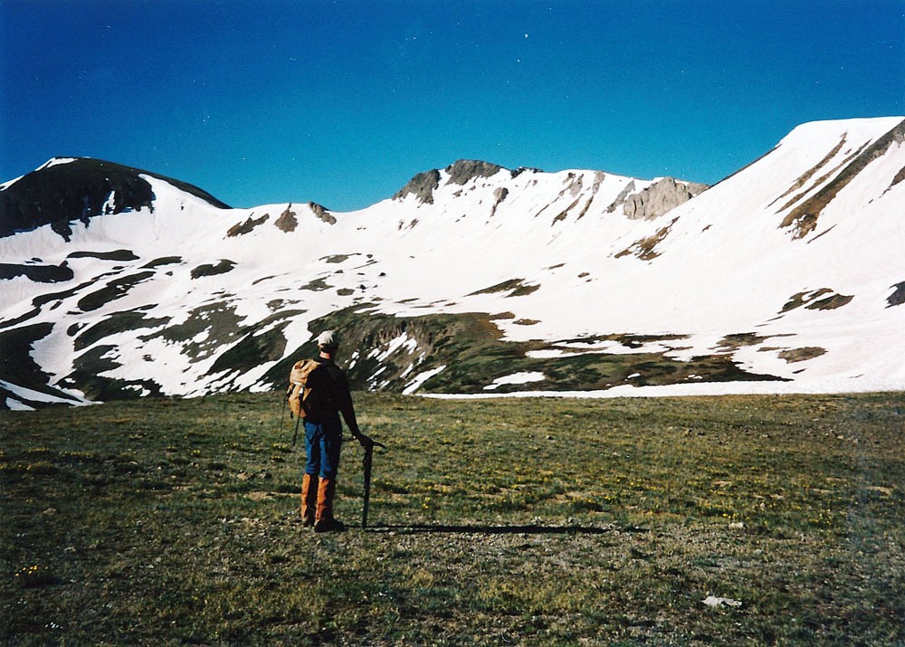
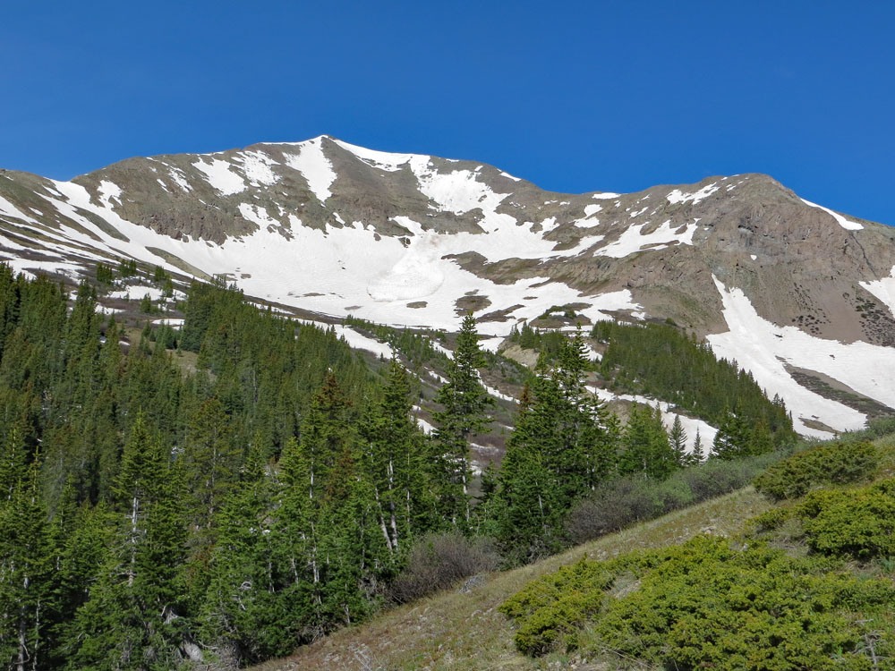
Year Climbed: 1997The summit of Mountain Boy Peak lies a little over 3 miles south along the crest of the Continental Divide from Independence Pass. Begin by following what we call "touroid" trails that head SW to gain the first of three high points along the ridge before reaching Mountain Boy. This easy ridge walk is over mostly emerging tundra and banks of snow if completed in early summer. Early on in our hike, we saw what appeared to be some mountain goats on the summit of our destination so as we approached the summit, we used a great deal of caution to avoid alerting the goats to our presence. The only problem on this hike is the descent east from the soft-ranked "Igloo Peak" summit. The ridge line in that section is a little too sharply defined and precipitous, so we headed a little south of it and dropped down through a lot of broken rubble to the saddle. Once on the saddle, the going for the remainder of the route is easy hiking on tundra and a little rock. As we approached the summit, in the hopes of encountering the mountain goats close up, we exercised every precaution. The light breeze was in the correct direction to blow our scent away from them. We tried to make as little noise as possible and our efforts were rewarded. As we came out on the summit area, the entire heard lay just a hundred yards away, resting in the late morning sun on the summit itself. They immediately spotted us, but did not bolt right away. We expected them to behave like most of the goats you see along the Front Range and almost eagerly welcome our arrival, but when we were within about 50 yards, they all got up and left. We suppose some will condemn us for disturbing their rest.
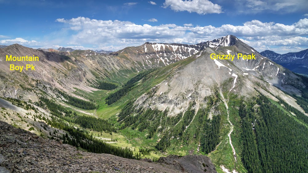
We have seen these goats before clamber through rocky cliffs as though they were seasoned climbers, but on this day, we were treated to a real display of their bravery and agility. They seek safety in the cliffs & difficult rock. To the south of the Mountain Boy summit, there is a spectacular set of cliffs. When the goats decided to leave us, they all headed straight down into these cliffs, contouring south to another summit. They scurried through precipitous gullies, scampered along narrow ledges of solid rock and wove their way through the maze of descending couloirs. Some of them became separated from others and would appear to become “cliffed out,” but always managed to keep going. Even the very young ones displayed an amazing natural talent in the crags. Eventually, they all disappeared from our sight and we were left wondering at their agility. Without any apparent second thought, they climbed across and over rocks that most climbers would use rope and protection on!
For the return trip, simply retrace your earlier route. The three miles back to the pass should go quickly. By the time we arrived back, the parking lots were filled with touroids from everywhere. Some were locals up for the day trying to get in some late season skiing, but most of the visitors were from out of state and were enjoying all the snow and expansive views. Curious onlookers watched us as we approached the car with our ice axes in hand and as we took off our gaiters, etc. Some would give us a wide berth. Ice axes look dangerous, you know. If there is still time, consider bagging another easy 13er summit north of the pass, Twining Peak. Both of these can easily be completed in a day with pleny of time left over for other activities.
Additional BETA
Links to other information, routes & trip reports for this peak that may be helpful. -