LoJ: #352 (Pre-LiDAR #351) / 13,353' Kendall Mountain
Peak Summary
Kendall Mountain is one of those summits that you can make as easy or as difficult as you want. With 4WD and/or good clearance, one can jeep to within a short distance of the summit and make a very short, Class 1 hike to the top from Kendall Gulch, a moderate 4WD road directly out of Silverton. Without 4WD, you have a long walk from Silverton with a fair amount of elevation gain. To make the peak more sporting, even if you have 4WD, you may want to park at a lower elevation to begin the hike. Kendall Mountain may also be paired with Kendall Peak and Kendall #2, which in 2022 became another ranked 13er because Lidar elevation study indicated this summit had more than 300 feet prominence from the saddle between it and Kendall Mtn. These two summits (Kendall Mtn. & Kendall #2 BM) are sequenced on this site. Mileage and elevation gain shown on this page are for Kendall Mountain alone. See Kendall #2 BM for RT mileage and elevation for both summit together. A Kendall Peak/Kendall Mtn.,/Kendall #2 BM we have not done in combination since we have routed Kendall Peak from the Highland Mary Lakes region. Pre-Lidar elevation for Kendall Mtn. was 13,340 ft., and on the USGS map showed as 13,338 ft.
Kendall Mountain from Kendall Gulch Route
-
-
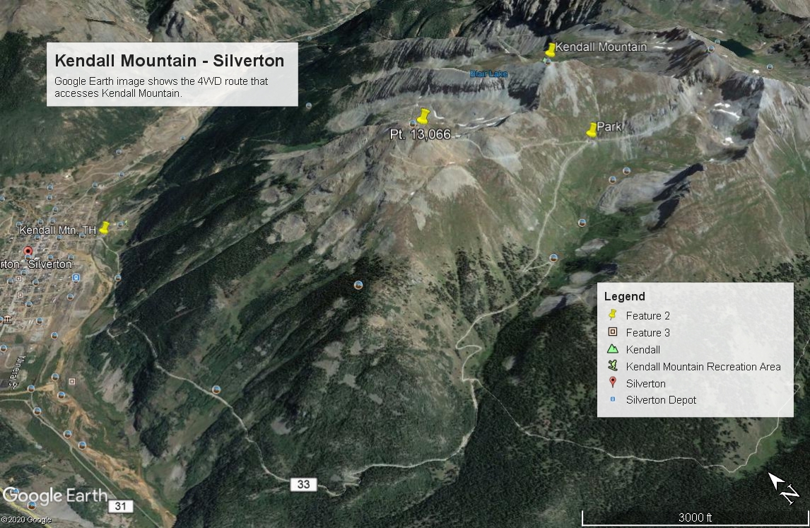
Kendall Gulch Trailhead
From the intersection west of Silverton on US550, drive on northeast into town to East 14th St. This is one block before the courthouse. Turn right and drive SE to a "Y" intersection just across the Animas River. Park out of the way at this intersection. There are some other parking spots if you take the turn to the right for Kendall Gulch, just before the road begins the uphill climb. This is the "lower" trailhead for those with passenger vehicle only. Coordinates are: N 37° 48' 39.66" W 107° 39' 31.55". If you have to hike from here, total round-trip mileage will be 11 miles and elevation gain will be 4,040 feet.
For those with higher clearance or 4WD vehicles, you may continue to drive to an upper trailhead. The last time we drove this road was in 2022. In 2002, we had no problem at all driving all the way up to a switchback at 12,260 ft. in a Jeep Cherokee. The road was in generally good condition and it took us about a half hour from the lower trailhead. It has been our observation that this road is a popular jeeping route which means it receives a lot of use. You may want to inquire in town as to its overall condition now before heading up. In 2022, we found it to be much slower going with many more rocks, but generally, we did not find clearance to be a major issue. The switchback at 12,260 ft. is what we are calling the "upper trailhead." Coordinates are: N 37° 47' 19.49" W 107° 37' 49.44". There's plenty of room to park. A hike from here is Class 1 to low Class 2. A Class 2 rating would because of the hiking up steep tundra. To make the hike a little more sporting, there's a good place to park at a switchback at tree line at 11,480 ft. Coordinates are: N 37° 47' 05.09" W 107° 38' 27.66".The measurements we are providing have this lower switchback as the starting point. That's because, the road above here becomes even rockier and slower driving, and because some might want to make this hike a little more sporting.
We are sequencing Kendall Peak (13,338) with Kendall #2, which was added as a new 13er in 2022, so mileages and elevation gains provided will reflect that.
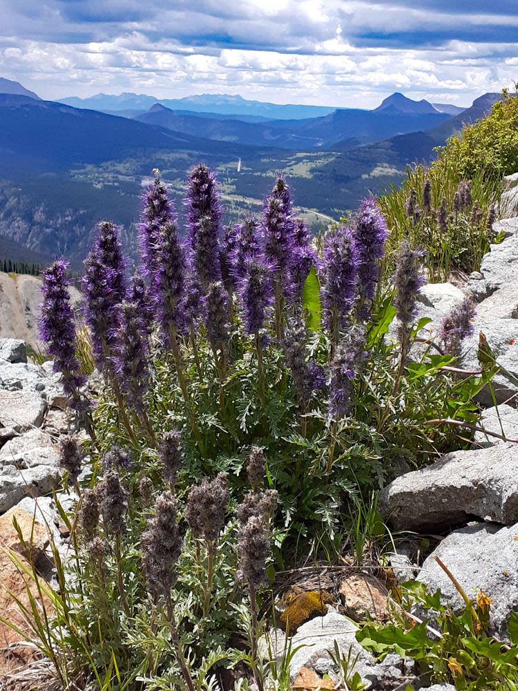
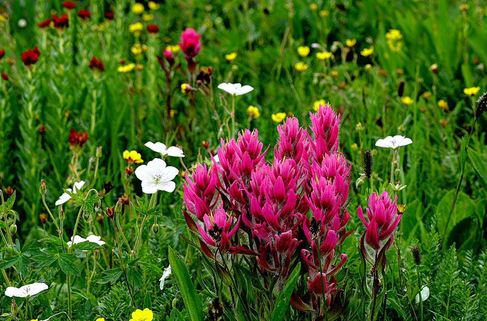
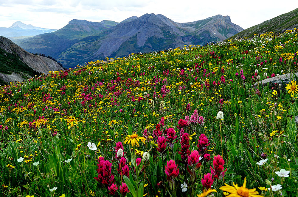
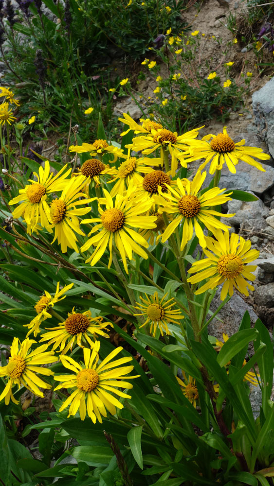
An additional note: From the switchback parking at 11,480 ft., if you walk east up the drainage to a more level area around 12,000 - 12,200 ft., the July and early August wildflowers here are outstanding. Also, on the upper section of jeep road above the higher switchback, you'll see lots of purple fringe and kings crown.
Camping
There is no camping in Silverton. The closest campgrounds are up South Mineral Creek or up toward Molas Pass. Campgrounds near Molas Pass include the Molas Lake Campground Park operated by the Town of Silverton (located right on Molas Lake) and the Little Molas Lake Campground, a fee site operated by the forest service. Both up the Molas Pass road (US550) and the South Mineral Creek Road ( FR585) you can find a number of primitive sites, all of which tend to completely fill up on summer weekends. Also, when you make the turn to the right out of Silverton after crossing the Animas on 14th St., to head up the Kendall Gulch road, there appear to be a few possible primitive sites before the road begins its climb, however, it may be debatable as to whether or not these are "legal" camp spots.
Click thumbnail to view full-size photo + captionRoute Description
Year Climbed: 2002From our suggested lower parking spot on the switchback at 11,480 ft., continue hiking on the increasingly rocky road to the upper switchback at 12,260 ft. From that switchback, begin to hike directly uphill toward the first saddle west of the Kendall summit. The initial going is steep on low tundra. Wildflowers can be nice. When you arrive at the saddle turn right and walk to the summit along the western ridge crest, but staying on the south side to avoid initial difficulties. About half way up this west ridge, the tundra gives way to scree & rubble, but there's nothing difficult. Time to summit will probably be about an hour unless the kids are slowing you down.
From the lower trailhead across the Animas in Silverton, total walking distance via the Kendall Mountain Road will be 5.5 miles with 4,040 feet of elevation gain making this more of a Class 2 hike up.
To descend, while you've made all this effort to get here, why not head west along the ridge and hike over to UN 13,073 (Kendall #2)? The ridge hike is not difficult and is mostly on tundra and scree, but the saddle is rugged and you may want to skirt around on the south side, utilizing the 4WD road, when ascending Kendall #2. There are a few rocky obstacles to avoid, but again, nothing difficult.
Additional BETA
Links to other information, routes & trip reports for this peak that may be helpful. -