Please visit our Links page by clicking on "Helpful Info" above. Support our contributors and find very useful links to sites with information that supports and enhances what we provide on Climb13ers.
The Loki store located at 537 Main St. is one of our site supporters. If you're looking for innovative outdoor clothing, please support this local merchant. Visit their site at: lokiusa.com.
BETA for Peakbagging Colorado's Thirteeners by The Climbing Cooneys
Climb13ers is now on Facebook! Please visit and give us a "like." Just look for "Climb13ers." Comments welcome!
Welcome to our homepage for climbing the Colorado 13ers. The purpose of this site is to provide definitive route information on all of Colorado's ranked, thirteen thousand foot summits. By "definitive," we mean that each peak described herein, has been personally climbed by us. There is no "second" or "third" hand information or reports that read something like, "it's been reported that the Northeast ridge of this peak will go." We will include some alternate route beta provided by highly trusted sources, but you can have the assurance that the primary route described has been successfully climbed by us. Our general assumption is that if you are interested in climbing Colorado 13ers, you are already a fairly experienced peakbagger/climber and hence, you are not looking for a detailed, step-by-step, let us hold your hand description of how to get to the summit. Our goal is to provide enough basic information to help you avoid any potential pitfalls or dead-end routes, and enough information on each route so you can anticipate what difficulties you'll encounter and how to best overcome them. You will not have to wade through countless "trip reports" where you consume a great deal of time in trying to ferret out actual route information from all the other extraneous beta that includes things like where Suzie left her water bottle or what restaurant somebody ate at. Be aware though that our trip reports date back as far as 1987. With each report, we provide the year we climbed that peak. The further back the year, the more you may want to add additional research to your trip plan in case some of our information has become outdated. And one more thing, there are obviously many ways to climb a peak. We're not suggesting you have to do it "our way" by providing these routes. Feel free to try other options. Report what you find to us. Use this beta to help plan your trip and anticipate possible difficulties, and so we hope you may have many successful climbs.
Something you should know about us that's intended to encourage those just starting out climbing Colorado summits. We are not and have never been Olympic caliber athletes, neither are we skilled, lead rock climbers. You do not have to be either to climb all these peaks. While we have always kept ourselves in decent physical shape, there are many climbers/peakbaggers far superior to us in physical capabilities and mountain climbing skills. In climbing all these mountains, we generally always took the easiest and simplest route we could find. We seldom took on difficult ridge traverses and most of our multi-summit days were kept within reason in regards to time. Sometimes, poor decisions or lack of better information placed us in more difficult situations. And, there were some days where obtaining the goal of multiple peaks led to long hours or excessive elevation gain. But generally speaking, you should find on this site, the easiest, simplest and shortest routes available for these peaks.
Things You Should Know...
The peaks listed on this site are primarily based on the 13er list used on ListsofJohn. ListsofJohn has become a popular site for recording peak ascents and contains a wealth of additional information regarding many summits in many states. Once you link on this site to a specific peak, there will be a link (LoJ) that will take you to the specific page for that peak on ListsofJohn. This is provided for your convenience, especially if you are recording your ascents on that site. In addition, we initially attempted to provide a reconciled listing to the 13ers listed in "Colorado's High Thirteeners" by Mike Garratt and Bob Martin. (Now out of print.) This reconciliation is based on their third edition. Since this source is now out of print, we have abandoned providing that linkage and with the addition of Lidar elevations, we are only providing previous rank values from LoJ.
Peak Names
It's difficult to be consistent here, so what we basically tried to do was to stick with USGS Map names for the primary name of a peak and then we added a "Nickname" area to help distinguish summits of identical height. G&M used letters (A,B,C,D,E,etc) to distinguish same elevation peaks. Those references have largely been abandoned. (So whenever you see a letter designation following a name, that is taken from G&M.) LoJ has used a basically "ungoverned" system of "nicknames" suggested by Gerry Roach and/or others to help resolve this issue. It's also much easier to remember a peak by name than by UNxx,xxx. In addition, peak names such as the S.x series, T.x, U.x, or V.x, will not be found on USGS quads but we went ahead and used those designations because of their long time acceptance among the mountaineering community and use by G&M as well as LoJ. Because Lidar measurements have made substantial changes to all the 13ers, we have provided, especially for unnamed summits, a reference to the previous elevation in the "Nickname" area to aid in cross-referencing.
About GPS, Mileage & Elevation Gain, Routes on Maps
We climbed all 637 summits without ever using a GPS for navigation of any kind. I know - we're so retro! But the point here is that good map reading and compass skills can get you there and having & knowing how to use GPS without good map reading skills can still result in disaster. The vast majority of GPS coordinates you'll find on this site have NOT BEEN FIELD TESTED." They are obtained from Google Earth using their coordinate system and are approximate, at best. Use these coordinates at your own risk. In regards to mileage estimates for the peaks, these are all based on horizontal USGS map estimates, usually using the distance measuring function on CalTopo maps. In most cases, our mileage estimates will be less than what you will actually walk. We have frequently rounded off to the next tenth at a minimum. Use these estimates to help you determine the length hike you want to do and for planning purposes, but remember that we make no guarantees regarding their accuracy. The same may be said for elevation gain estimates. We have typically rounded off to the nearest five to ten. There's little sense in most cases of providing a precise number like 2,143 ft. The estimates are based on the difference between trailhead and summit elevations with some effort to calculate drops and gains on connecting ridges. We did not use cumulative elevation profiles that can be obtained from GPS and similar units. So our estimates will typically be less than what you will actually do.
Map Routes & Google Earth Images: The routes we have drawn onto the CalTopo USGS maps and the Google Earth images are approximations only and should only be used to determine general direction. We do not guarantee their accuracy. Do not take too literally. They are neither "field tested," nor are they a compilation from a GPX track.
How to use CalTopo
With each peak listed, there should be an "Interactive" CalTopo map link that takes you to our map that we created on the CalTopo site. This map will be "Read Only," however, you may still make your own measurements using the measuring function in the top toolbar and you can create your own print version, rather than use the pdf printable map we provide. In addition, when on the CalTopo map page, in the upper right screen corner, there will be a text that says "Map Layers." If you click on that, a sidebar will open up. At the top of the sidebar you will see something about "Base Layers" and a field under that term. Click inside that field and five optional type maps will show. For all of our maps, we always either used the "Scanned Topos," (which will be the 7.5 minute USGS quads), or the "Forest Service" optional map. The USGS quads are better for more detail in the contour lines, but are often outdated when it comes to changes in roads, trails and development. The Forest Service maps are better for checking for updates to such information as roads, trails and development over the years. You can switch between any of these versions by just clicking. One more thing: in order to provide users with these maps, we pay an annual fee to CalTopo to make the maps and maintain a database of our maps. User donations help us with this particular cost.
The Plan...
As of March, 2021, the site has been migrated to a new platform and all 584 ranked summits have been routed. We still have a few former "soft-rank" summits, now unranked by Lidar, to add at this point and may include a few other useful unranked summits at a later date. As of Sept. 2023, our complete 13er list is now revised to reflect new Lidar values and still links over to Lists of John. Users should be aware that LIDAR has removed some 13er summits from the "ranked" list and actually added some others, but the total number remains the same at 584. "Soft-ranked" summits have become extinct. Though our main lists corresponds to Lidar values, we have yet to update all of our provided maps to reflect the new elevations and, there will be places in the route descriptions where we have yet to correct cross-references to summits and their elevations that have been changed by Lidar. Our plan now is to go back correct all those and continue to add photos (yes - we do accept photo contributions if you think you have something useful), updates maps, sequenced peaks and continue to verify mileage, road and trailhead data. Please send us corrections to any misinformation we have posted.
How Can You Help?
- If you see any grievous errors; poor directions, changes in roads, trails etc., not noted here, please report them to us so we can keep this information updated for all others to use. You may also report route variations, but they may or may not be added to this site depending on how useful we feel they are to the climbing community, the detail and reliability of the report, and other factors.
- Contribute financially. Though this site is offered freely to all (we consider this to be our "gift" to the Colorado/peakbagging/climbing community), it is not maintained freely. As most all know, websites cost money and we are investing a considerable amount of time in creating and maintaining this site. Like Lists of John, we encourage donations to help us maintain this site. Please consider a donation in any amount.
A Few of Our Favorite Peaks
-
![UN 13557 [Formerly Unranked UN 13555] | 13557'](https://www.climb13ers.com/_assets/images/13ers/UN-13557.jpg)
#216 UN 13557
[Formerly Unranked UN 13555]Class 2Medium Day // Take a Lunch(RT) From Lily Lake/Huerfano Creek TH: 7.8 mi / 3,360' -
![UN 13556 "Independence Peak" [Formerly UN 13,545] | 13556'](https://www.climb13ers.com/_assets/images/13ers/UN13556.jpg)
#218 UN 13556 "Independence Peak"
[Formerly UN 13,545]Class 3Medium Day // Take a Lunch(RT) From Roaring Fork River TH: 6 mi / 2,040' -
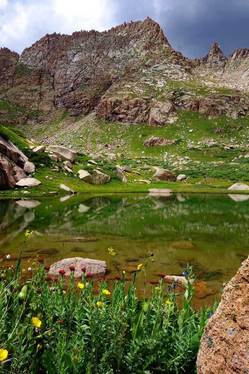
#265 / 13,494' Peak Ten
Class 4Backpack + Medium Day(RT) From Bear Creek/Hunchback Pass/Kite Lake: 24.7 mi / 8,095'(RT) From Sunlight Creek Campsite @ 11,550 2.5 mi / 1,870' -
![UN 13003 [Formerly UN 12990] | 13003'](https://www.climb13ers.com/_assets/images/13ers/UN-13003-B.jpg)
#634 UN 13003
[Formerly UN 12990]Class 2Medium Day // Take a Lunch Climbed with UN 13179(RT) From Cuba Gulch: 8.75 mi / 3,135' -
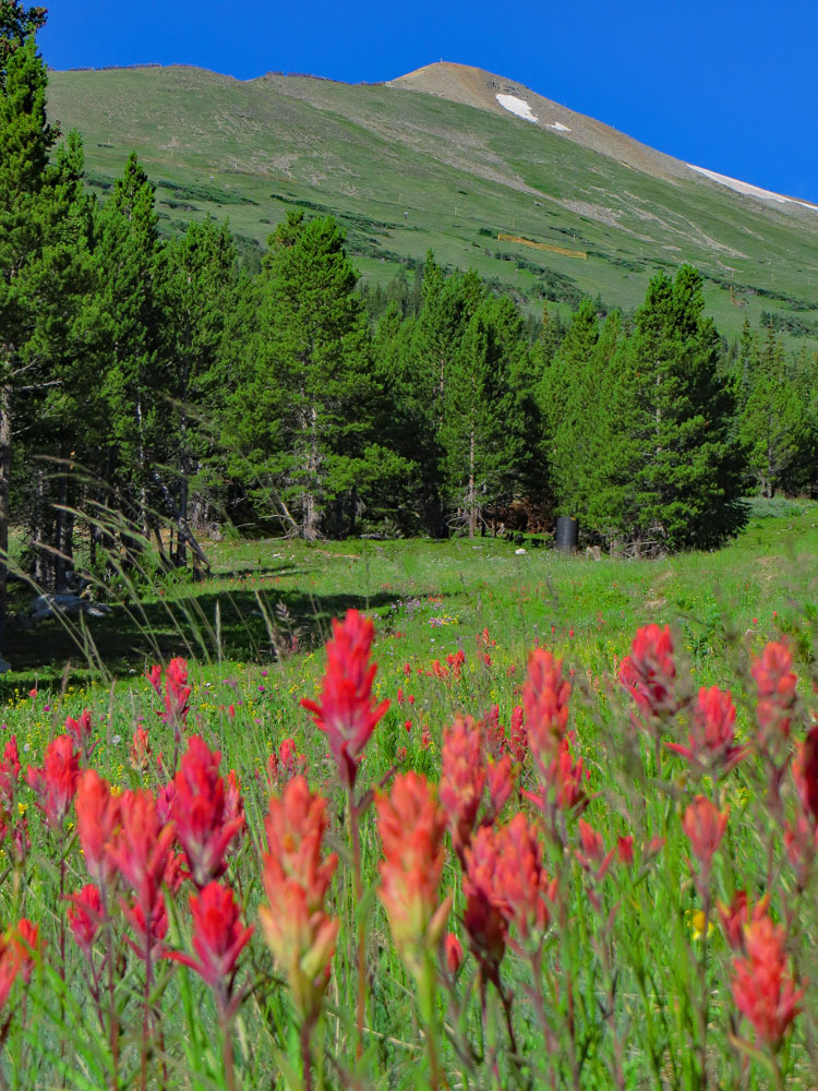
#632 / 13,005' Peak 8
Class 2Medium Day // Take a Lunch(RT) From Peak 8 Breckenridge: 5.4 mi / 3,115' -
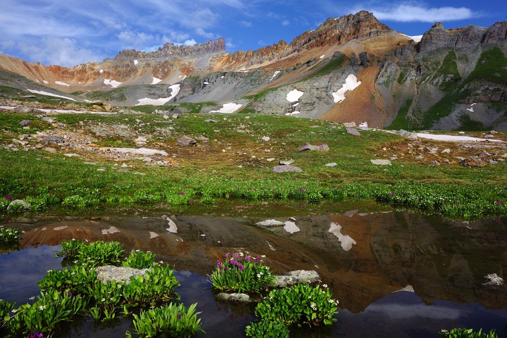
#131 / 13,746' Pilot Knob
Class 3Medium Day // Take a Lunch(RT) From South Mineral CK. CG & Ice Lake Basin: 10.6 mi / 3,890' -
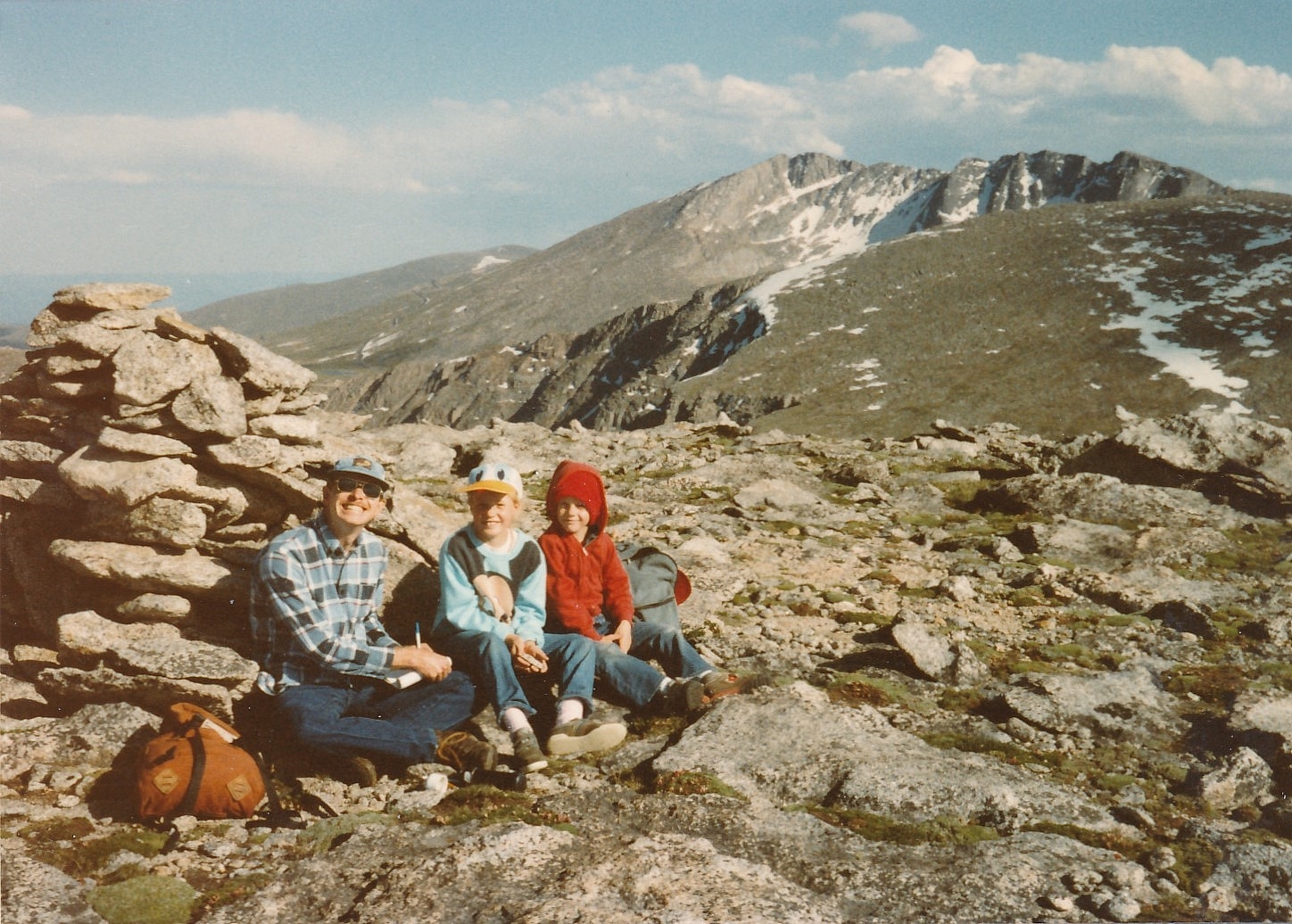
#189 / 13,604' Gray Wolf Mountain
Class 2Short Day // A Wee Little Climb Climbed with Mount Spalding(RT) From Mt. Evans Road - Summit Lake: 4.8 mi / 1,590'
