LoJ: #584
(Pre-LiDAR #586)
/ 13,080'
Whale Peak
Quadrangle ›
Jefferson
Peak Summary
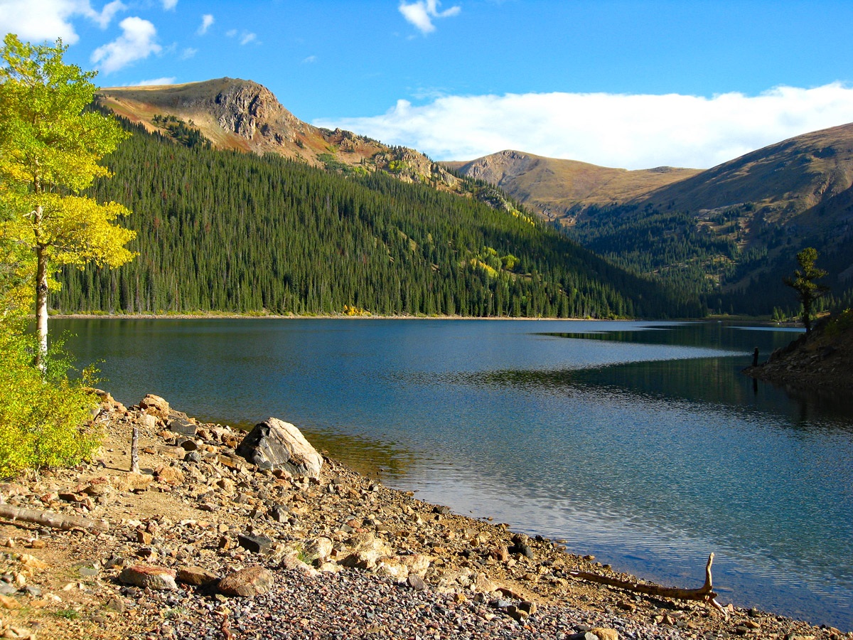
Whale Peak is a mostly Class 1 and 2 tundra stroll from Jefferson Lake with no designated trail to assist. Most passenger cars can access Jefferson Lake on a graded dirt road. This is a pleasant and family-friendly hike close to the Denver metro area. Camping is available close by. It's possible to make this a "day-climb" from the Denver area, driving up and returning the same day. Lidar added 2 feet in elevation to this summit.
Whale Peak South Ridge Route
Medium Day // Take a Lunch
RT From Jefferson Lake:
9.1mi
/
2,380'
-
Trailhead
-
From the Front Range/Denver metro area, head out of town on US285. Drive through Bailey, then over Kenosha Pass, dropping off the pass to the small town of Jefferson. At Jefferson, turn north onto CR54 (aka: the Michigan Creek Road) at the main intersection. The road heads first north, then turns west. In just about two miles from Jefferson, turn north again onto CR37 which is marked for Jefferson Lake. It's another 5.2 miles to the lake on a graded dirt road that most passenger cars can handle. There are two main parking areas at the lake. The USGS Jefferson quad shows a campground at the lake. This appears to be no longer the case, but there are vault toilets.
Camping
There are several fee campgrounds along CR37 heading up to Jefferson Lake. These are "Jefferson Creek," "Aspen," and "Lodgepole." There are also at-large camping spots. Since this is all located close to major metro areas, camp spots fill quickly on summer weekends. Plan accordingly.
 Route
Map Photos
Route Info Whale Peak South Ridge
Click thumbnail to view full-size photo + caption
Route Description
Year Climbed: 2007
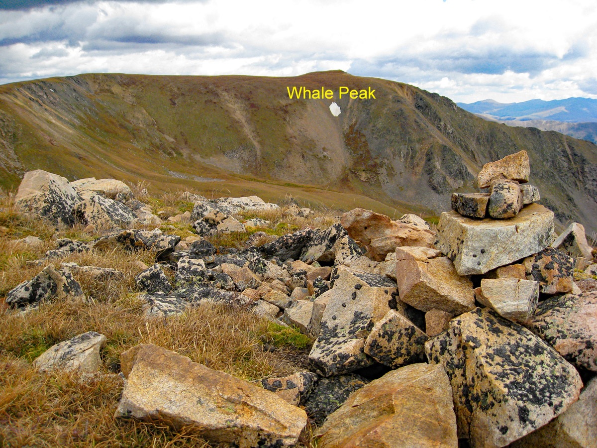
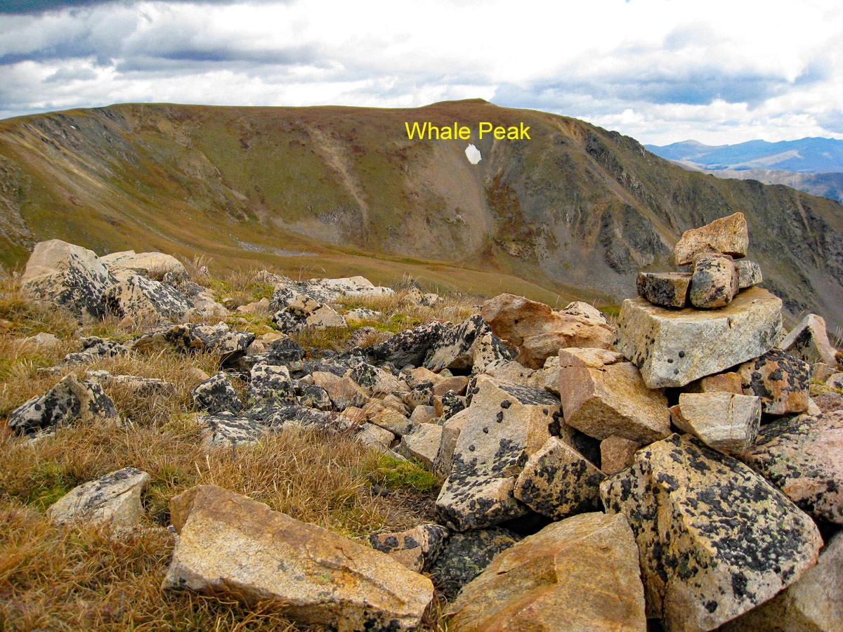
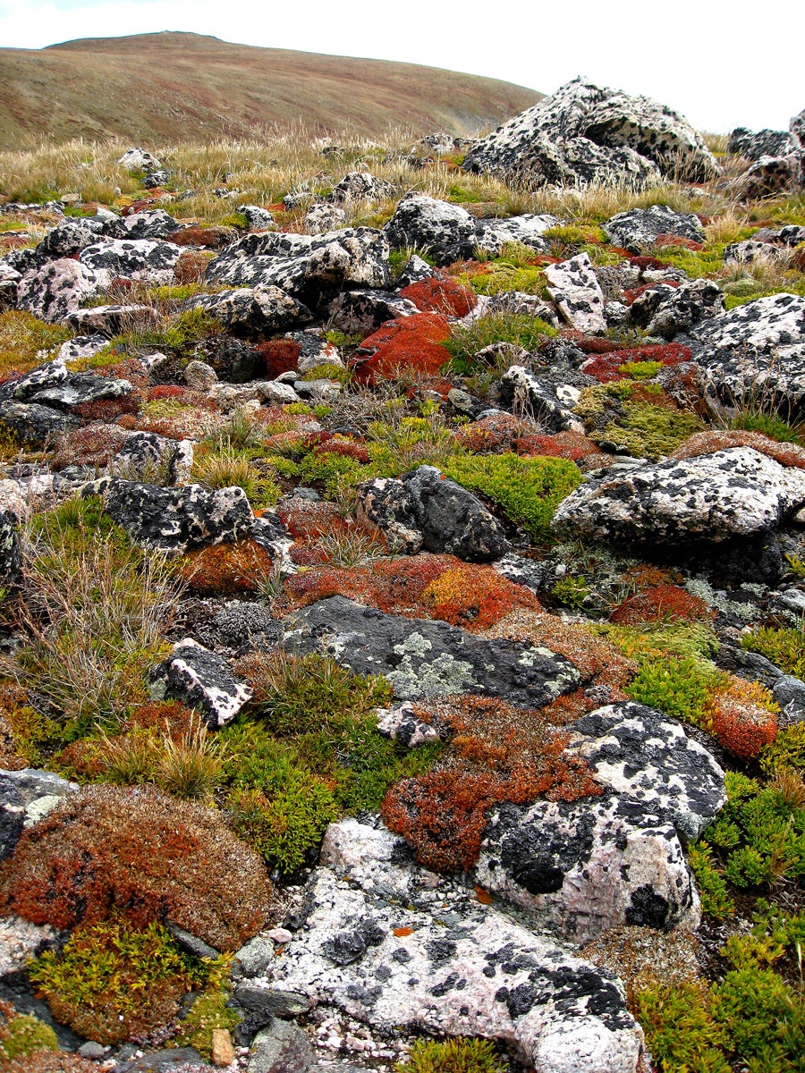
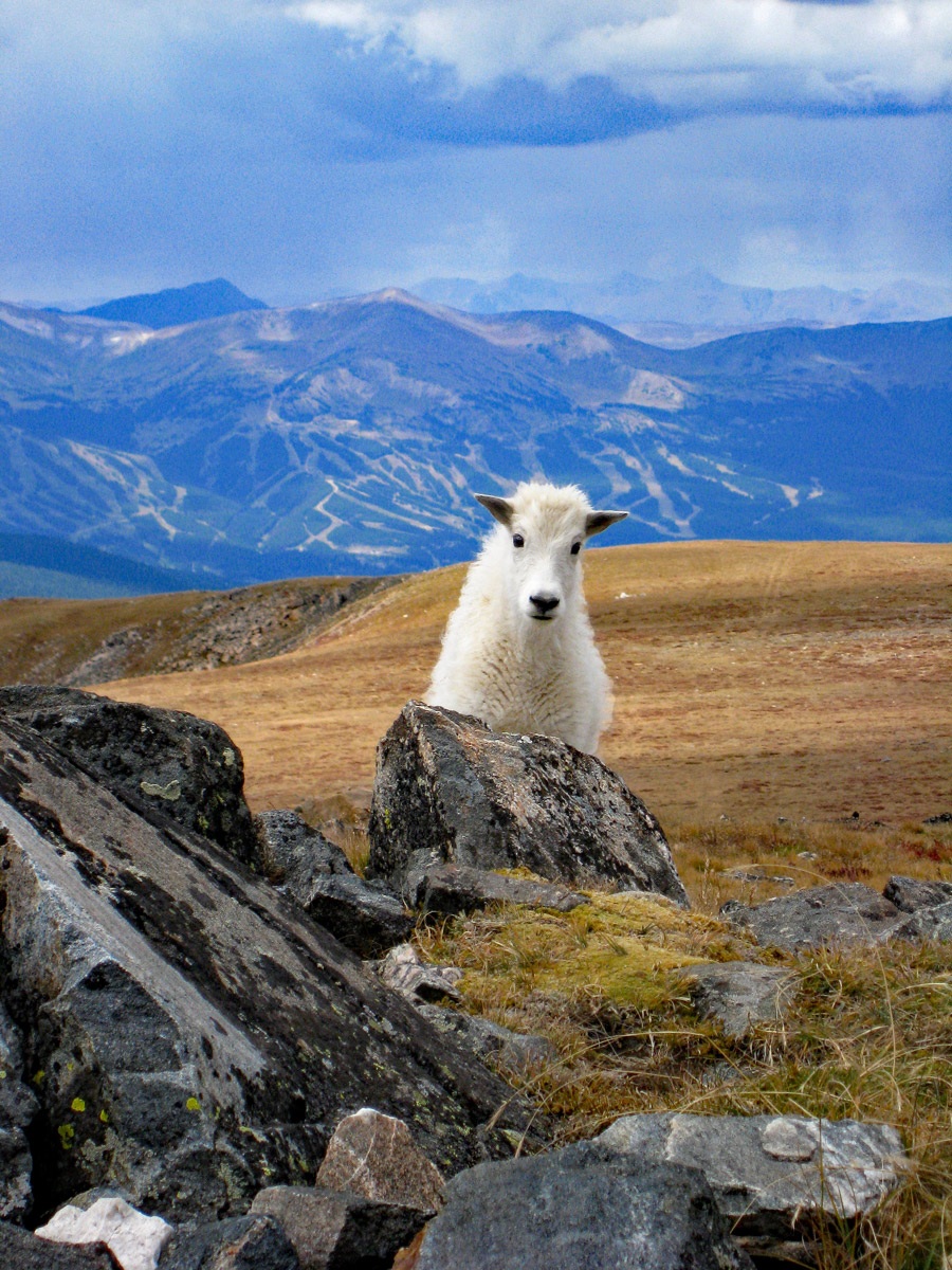
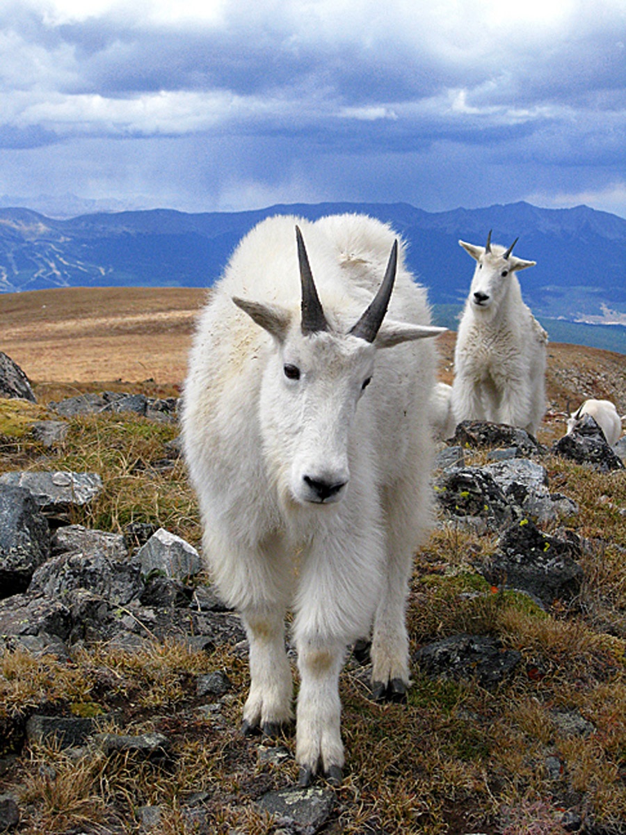
Begin by crossing the lake spillway and walking on the west side of the lake. A fisherman's trail of sorts follows along the west shore, climbing over fallen trees, roots, rocks and going up sometimes and dropping down other times. It’s sort of slow going. Near the north end of the lake, an opening in the forest to your left affords an opportunity to depart the now fainter trail and ascend steeply (Class 2) for a while until you clear the trees. The goal is to gain the broad ridge that leads to the unranked "Glacier Peak." Higher up, the slope will begin to relent a little and you can hike through tall grasses and tundra. Keep an eye out for a beautiful hawk that flies in this area. The hiking becomes easy Class 1 and you will make rapid progress over mostly tundra to near the summit of Glacier Peak. Here, you intersect the Continental Divide trail and continue hiking now north and then east over more easy Class 1 tundra toward the summit of Whale. In the fall, the tundra up here is quite colorful. There's a medium-sized rock cairn marking the high point of the broad, mostly tundra and embedded rock summit. It took us just a little over two hours from Jefferson Lake. While taking our lunch on this summit, we were visited by a friendly group of mountain goats who came up quite close to us. Two yearling goats played on the summit cairn, clambering up, then leaping off to clamber back up again. They tarried here for a good ten minutes while we snapped a few dozen pictures.
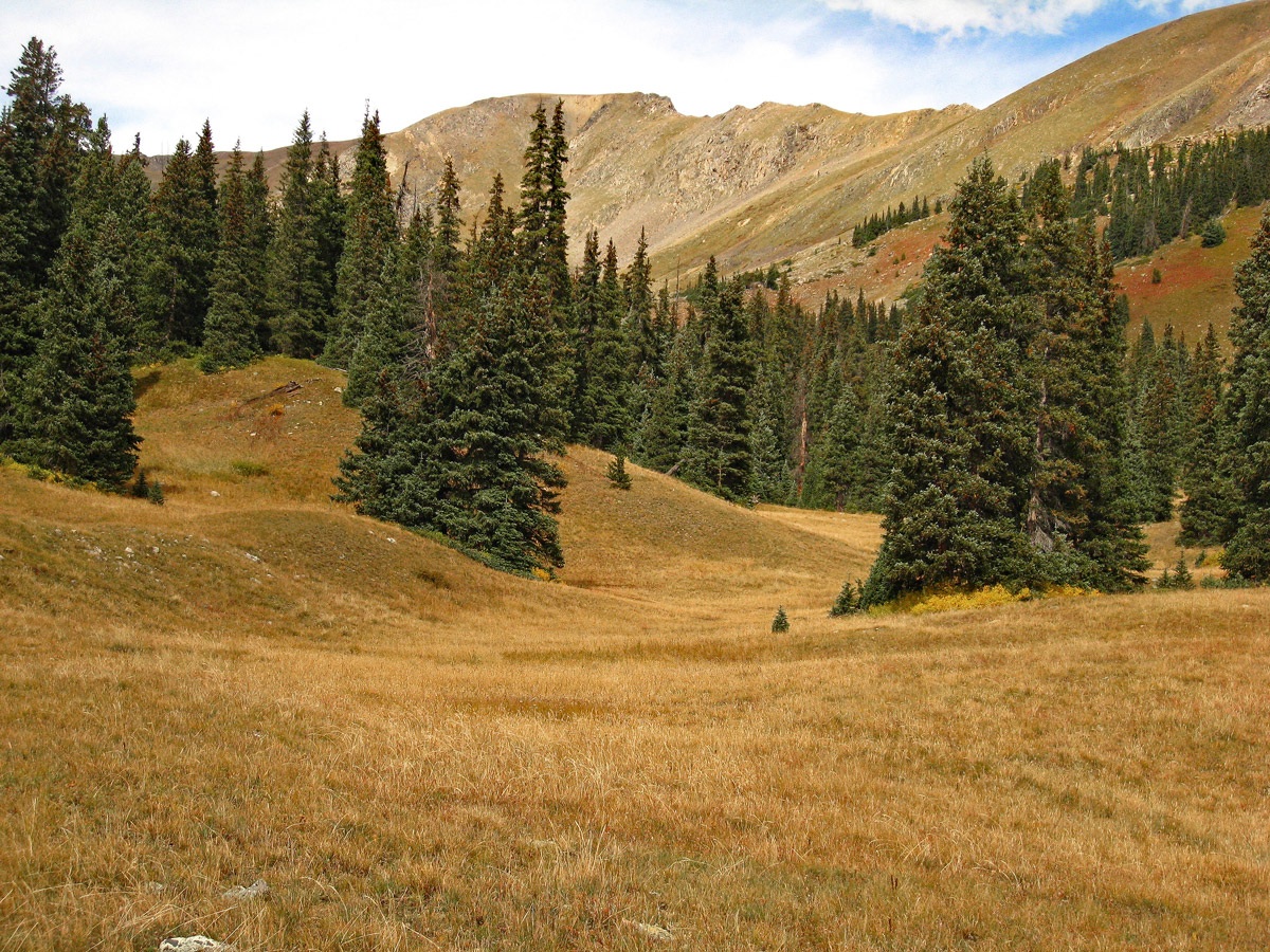
For the descent, try heading down the SE ridge toward Pt. 12,733. At the saddle before reaching that point, drop down SW into the Jefferson Lake Fork drainage. This fairly open valley heads south back to the north end of Jefferson Lake. This is a pleasant valley with plentiful signs of elk. At times you pass through forest but it was not difficult at all to get back to the lake. When you do reach the lake, avoid the willows at the upper end. We walked back along the east shore and followed another faint fisherman's trail that again led over various obstacles until you reach the parking area. One way mileage is 5.0 following our suggested route to the summit. If you return as suggested, you'll save about .9 mile.
Additional BETA
Links to other information, routes & trip reports for this peak that may be helpful.
Mountain Handbook ›
Whale Peak
(Requires free registration & login to view)
"Moses spent forty years thinking he was somebody; forty years learning he was nobody; and forty years discovering what God can do with a nobody." Dwight L. Moody
Warning!
Climbing peaks can be dangerous! By using this site and the information contained herein, you're agreeing to use common sense, good judgement, and to not hold us liable nor sue us for any reason.
Legal Notice & Terms of Use.
 N 39° 29' 39.04", W 105° 51' 59.09"
(Not Field Checked)
 Mount Guyot
