Hayden Mountain North is sequenced with hayden Mountain South. One-way mileage and elevation gain is measured from the south summit. Round-trip mileage and elevation gain assume completion of the sequence.
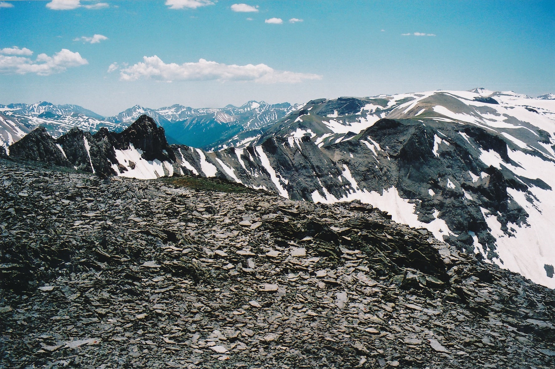
From the summit of Hayden Mountain South we attempted to descend northeast along the ridge toward the north summit but quickly came to a steep and intimidating section with no easy route to discern. We explored down the ridge some on the south side, but came to a severe drop just east of the 13,009 marker on the USGS map. So, we returned to the summit and decided on plan B. We will also mention that had we negotiated this section of ridge successfully, we would still have had a serious problem clearing the unranked 13,023, pyramid shaped summit blocking the ridge over to Hayden North. The west face of this obstacle is steep gullies filled with rubble and the north ridge of it is a cliffy array of rocks.
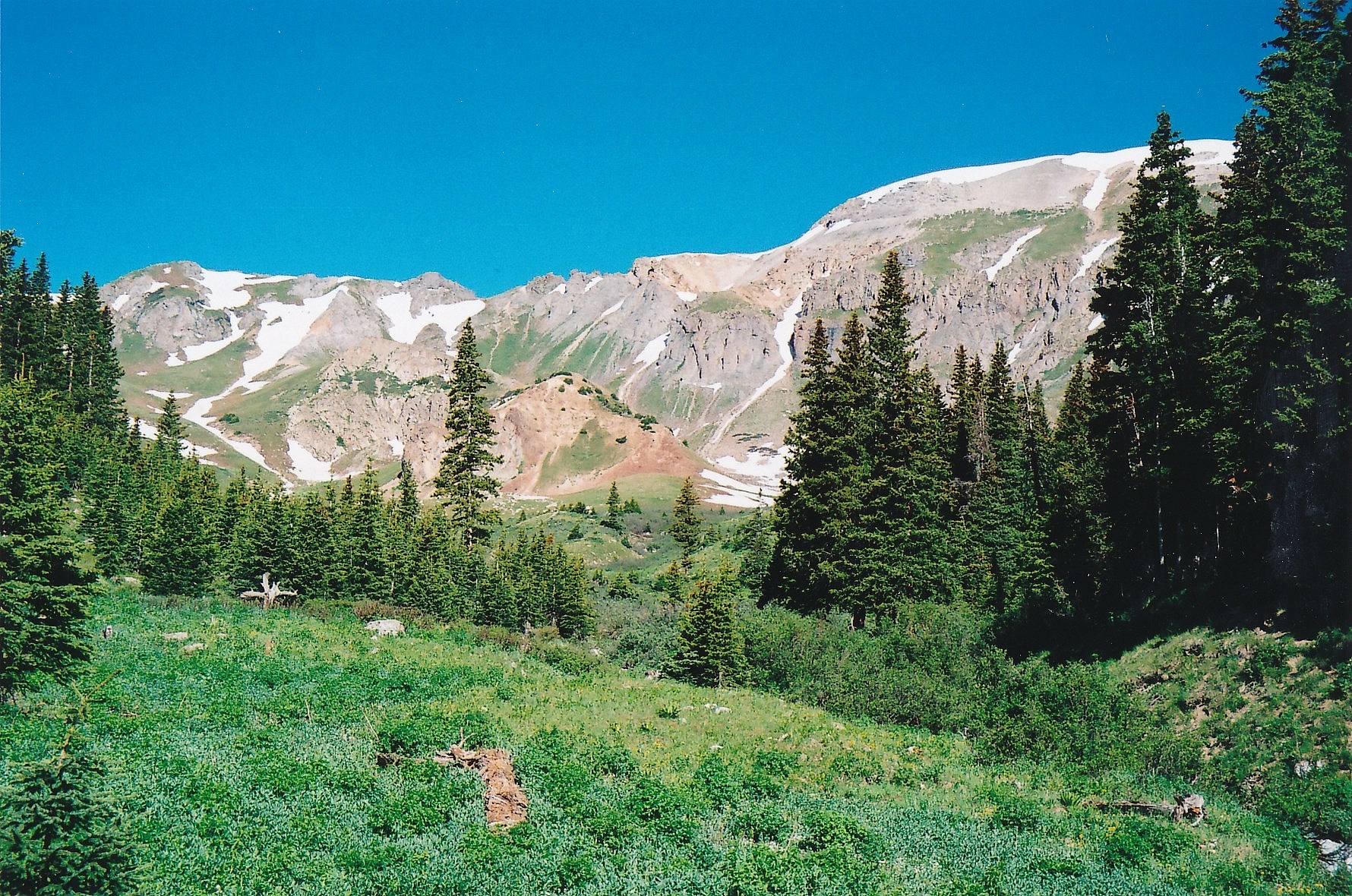
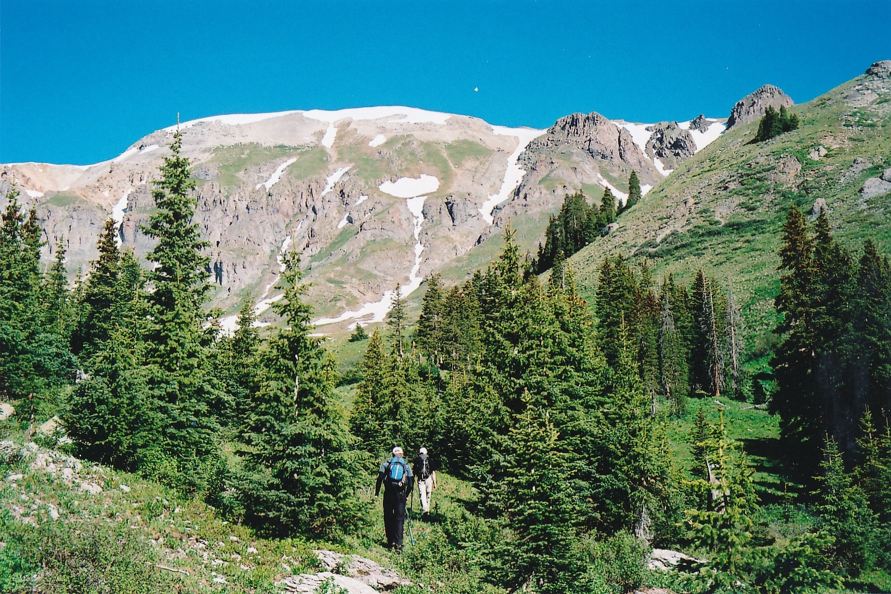
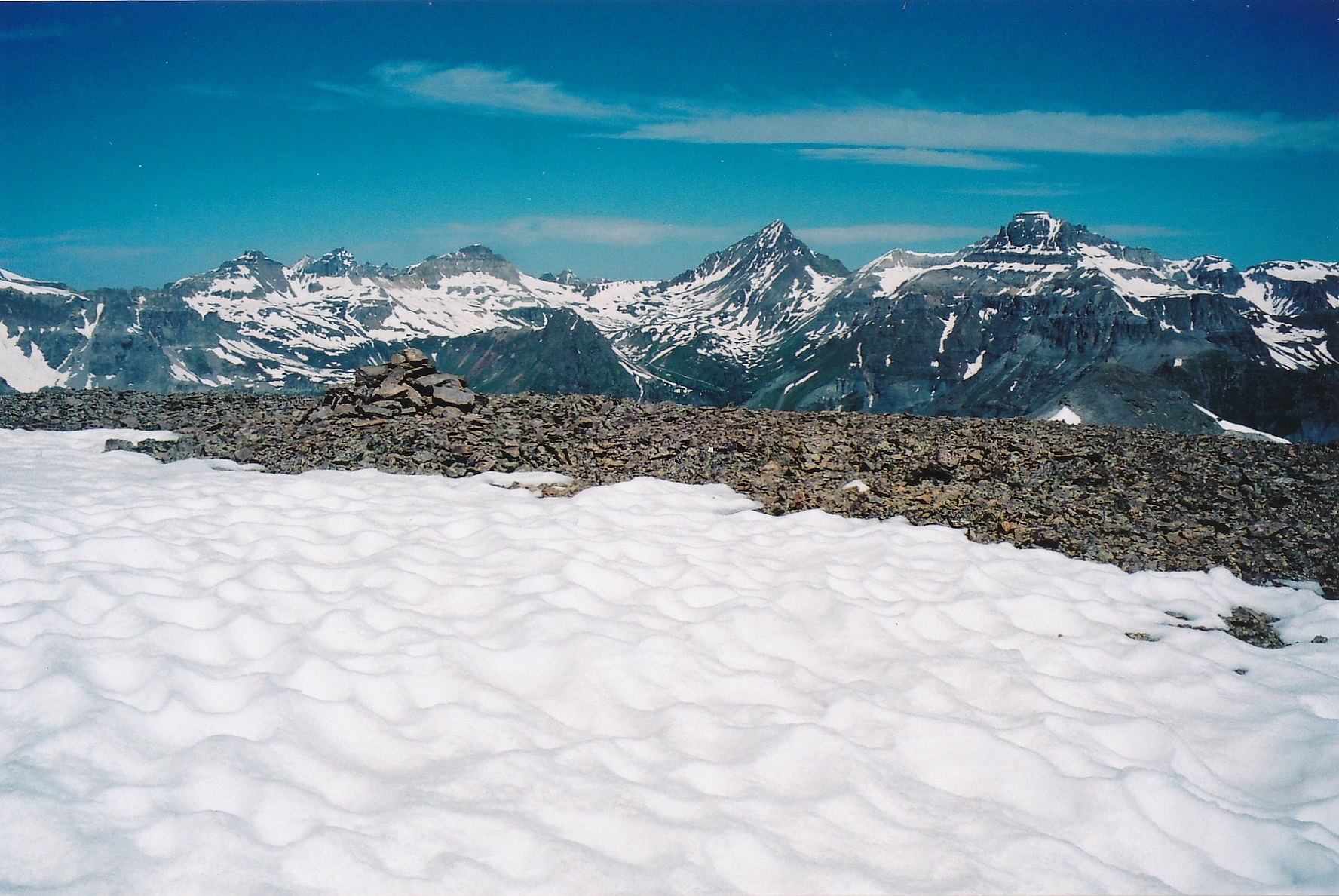
From the summit of Hayden South, descend by going a little west and then north, enjoying a rapid glissade on vast snowfields in June. Later season, probably talus. The snow was already quite soft and we broke through the crust in many spots. As we approached the basin head of Fall Creek, we began a contour northeast toward Hayden North and crossed as much as possible on snow, but also had to negotiate some rock fields/ rock glaciers. We were heading toward a game trail we could see that climbed out of the basin and ascended toward the saddle south of the Hayden North summit. We easily gained this trail and followed it up for some distance to the saddle. From there, it was relatively easy walking to the summit. This lengthy descent, traverse and ascent cost us nearly two hours. Enjoy the vast views, especially to the north. This is a great place for a lunch break.
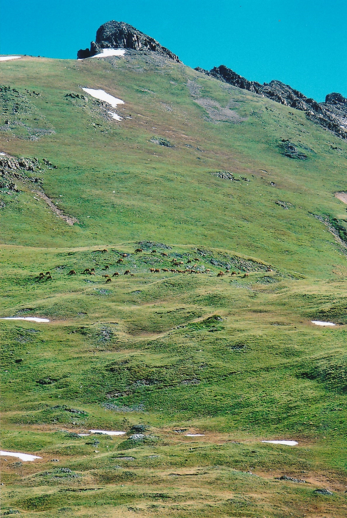
After your lunch break, depart the summit and begin the descent into Half Moon Basin, southeast of the summit. The plan is to follow a large, wide avalanche path that descends all the way from the basin to the flat, Ironton Park meadow, pick up the same road you started out on in the morning that runs parallel to the meadow and walk back to the trailhead. The 3,000 ft. descent is a relentless affair on legs. Lupine dotted the steep, grassy slopes. The one redeeming aspect of this descent came near the bottom, just before we reached the old road. At this point, I was just ahead with Shaun and Carrie following. About 20 yards ahead, I spotted a cow elk, standing in the aspen trees and not running away, which they usually would have done. As I followed a faint path that led in her direction, she slowly moved off. When I came to where she had originally stood, there was a small clearing in the trees and lying on the ground, was a newly born calf. It was just beginning to try and struggle to its feet. Just to the side, the mother’s placenta lay on the ground with flies buzzing around it. The little calf was still covered with the canal fluids from its mother. We paused to see this most rare site, but quickly realized, we needed to get out of there and away so as to not run the mother off and have her abandon her calf. So we abruptly altered our direction away from the spot and continued our descent through aspen to the old road. Once you reach the road, it will be about a mile and a half walk back to the trailhead.
Links to other information, routes & trip reports for this peak that may be helpful.
 N 37° 58' 03.43", W 107° 41' 21.12"
(Not Field Checked)
 Hayden Mountain, South
 T 7
T 7
 T 8
T 8

