LoJ: #353 (Pre-LiDAR #356) / 13,352' "Finnegan Peak" Formerly UN 13346; also "North Gold Dust"
- Colorado 13ers
- Sawatch Range / Top 400 / Class 3
- "Finnegan Peak" [Formerly UN 13346; also "North Gold Dust"]
Peak Summary
While mileage is not a factor, this peak still proves to be a longer day because of the difficult terrain and extensive boulder fields that must be navigated. Class 3 scrambling required on difficult rock. 4WD vehicle helpful for access. Trail access is difficult to follow at times.
Finnegan Pk. West Approach Route
-
Trailhead
-
New York Mountain TH
From I-70, take the Eagle exit and drive south across the river. At the traffic circle just across the river, head west on the old US 6 highway. Follow sings to the Sylvan lake State Park turnoff which comes at the next traffic circle. Drive south and SE on the Sylvan Lake Road through residential areas to an intersection with the Brush Creek Road. The Brush Creek road is variously identified as CR307 or FR400. Turn right (SE) and drive several miles, passing an extensive golf course on your right. A little past the golf course, turn left (east) onto FR415. From this intersection, it is 6 miles to the Yeoman Park Campground on what is called the East Brush Creek Road. Just past the campground, (.3 mile) turn left onto FR418 to Fulford. It is 3.8 miles to the turnoff for Fulford on relatively good, graded dirt road with some potholes. In another .6 mile, there's an intersection with FR419. Continue on FR418. In another mile, you'll intersect FR435 and shortly past that, FR421. Always stay onFR418 which becomes known as the Nolan Creek Road on the Trails Illustrated map #121. By now, the road is degrading and becoming rougher, but higher clearance SUV's can still navigate the conditions. At 8.7 miles from the turn onto the Fulford road just past Yeoman park, you should come to the parking for the Polar Star Hut at a switchback. Turn left at the switchback and if you have higher clearance 4WD, continue the last .7 mile to the New York Mountain TH at 11,210 ft. The drive from Eagle will require a minimum of one hour if not longer.
Camping
At the trailhead, there's a little room for a vehicle camp or just up the trail 50 - 100 yards, there are some good tent sites. Yeoman Park CG offers a more civilized alternative but is typically full on weekends. At the trailhead, we have found the mosquitoes to be quite voracious both times we've been there in both early and late July.
Campsite Locations
Yeoman Park › N 39° 30' 09.37", W 106° 40' 45.42"
Route Map Photos
Route Info Finnegan Pk. West Approach
Click thumbnail to view full-size photo + captionRoute Description
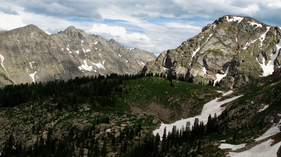
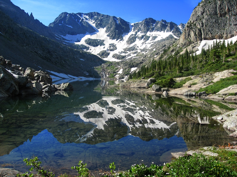
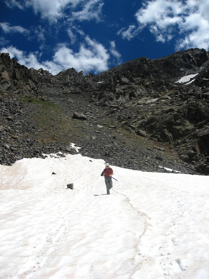
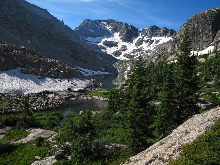
Year Climbed: 2011First of all, we highly recommend attempting this climb earlier in the season when you may still find snow covering the massive boulder field that grants access to the north ridge of Finnegan. The year we climbed it, we went in at the very end of July. That was too late for finding any snow advantage. If you do make it earlier and find snow on the route, then crampons or micro spikes may be welcome along with an ice axe. In addition, just hiking to New York lake offers a secluded wilderness hike that rivals the most beautiful and scenic spots in Colorado. New York Lake with Gold Dust peak at its head is spectacular. See our photos.
From the trailhead parking at 11,200 feet, walk in a southward direction on a trail that leads past the old Polar Star Mine. (Trail #1876) Continue on that trail south until you come to a junction with an old mining road. Turn left (east) and follow the road up to treeline and then into an open, grassy meadow where it turns south again. Follow the now trail uphill across the grass & tundra and watch for a branch of the trail that heads east over to the edge of a cliff. This is trail #2221 on both the White River NF map and the Trails Illustrated map. The trail drops very steeply through a break in the cliffs and then levels out some as it heads south across a tundra bench which may still have snow. Follow the trail to a minor saddle where there are a bunch of cut logs tied together.
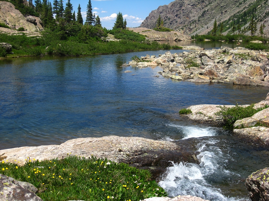
On the other side of the saddle, the trail drops into a minor drainage and then meanders through vegetation, small rivulets, ponds and trees as it skirts the cliffs at the base of New York Mountain . From here on, the faint trail generally stays at about the 11,300 foot level with plenty of minor ups and downs. Where the trail becomes more obscure, there is usually a cairn to help. Just continue hiking generally south on something of a bench-like level for two miles to New York Lake. Along the way, there will be plenty more rivulets, vegetation, open tree areas and small ponds. The further south you proceed, the more the view unfolds of the upper basin and Gold Dust Peak, but you never really get a glimpse of New York Lake until you're virtually there. As the trail drops to the lake outlet, it becomes somewhat obscure in low evergreens. Before dropping down to the lake, scout out your ascent route carefully. At the outlet, take the time to admire & even photograph the splendid view. The magnificent color of the lake and the dramatic north face of Gold Dust Peak creates an unforgettable panorama.
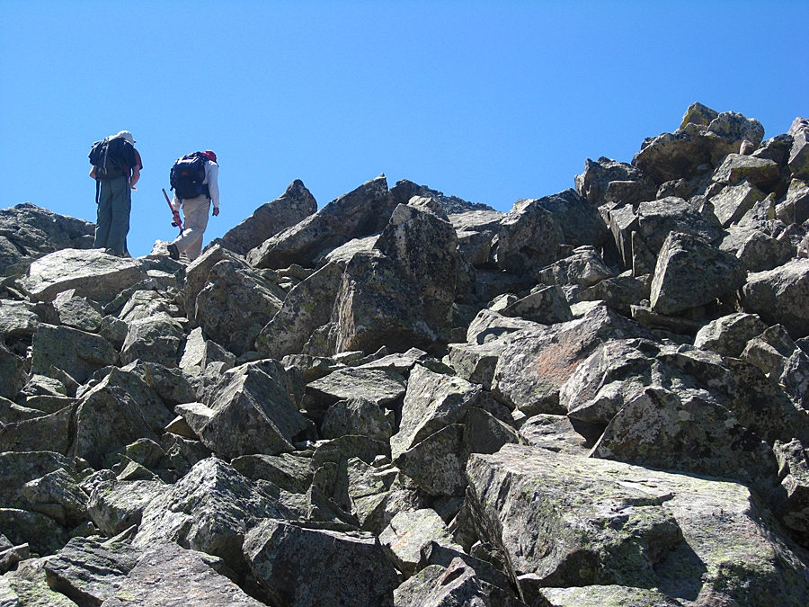
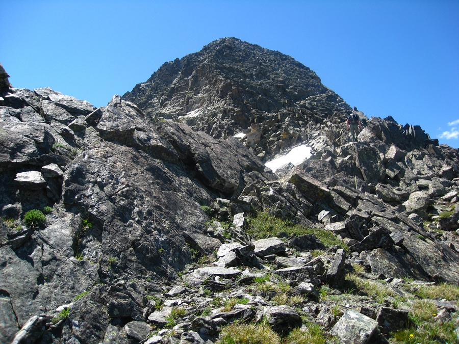
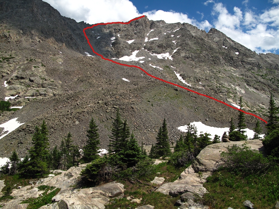
Find a way to cross the stream at the lake outlet. If you're lucky, there may be a snowbridge. Clamber up onto the vast rock glacier and begin the tedious journey heading east up the rocky morass. As mentioned before, if early enough in the season, you may be able to avoid much of the relentless rock-hopping by finding a snow-covered route up the central gully. For nearly one thousand feet of gain, you'll be either on the open boulder-talus or snow. Aim for the main couloir that would appear to lead to the saddle north of the Finnegan summit. Stay in that couloir for the next 600 feet of gain. The rock will become steeper and less stable. Helmets are advised and fan out from your partners. Somewhere around 200 - 300 feet below reaching the saddle, you can begin to veer right (SE) if you've tired of the loose rock and clamber around on more stable rock that may require some 3rd class climbing. Still aiming for the ridge above, but heading diagonally toward it, you'll be clambering over large, fractured blocks, up short gullies and over short cliff bands. Once you thankfully gain the ridge north of the summit, proceed south and up while continuing to navigate more tedious but more stable boulder talus. Arrive at the summit to find no comfortable place to sit. It's just all broken rock.
To descend, follow your ascent route back down as best you can. If there's still some snow, here's where the ice axe can assist in a quick glissade down the mountainside and back to the lake. Cool your burning feet in the small pool at the outlet before resuming the trek back to the trailhead and perhaps refresh your water supply.
Alternate Route: There is another approach to the New York Mountain Trail described in the following link. It requires more hiking miles and elevation gain, but some may want to try for the adventure:
https://fs.usda.gov/Internet/FSE_DOCUMENTS/stelprdb5186374.pdf
Additional BETA
Links to other information, routes & trip reports for this peak that may be helpful. -
