LoJ: #189 (Pre-LiDAR #190) / 13,604' Gray Wolf Mountain
Peak Summary
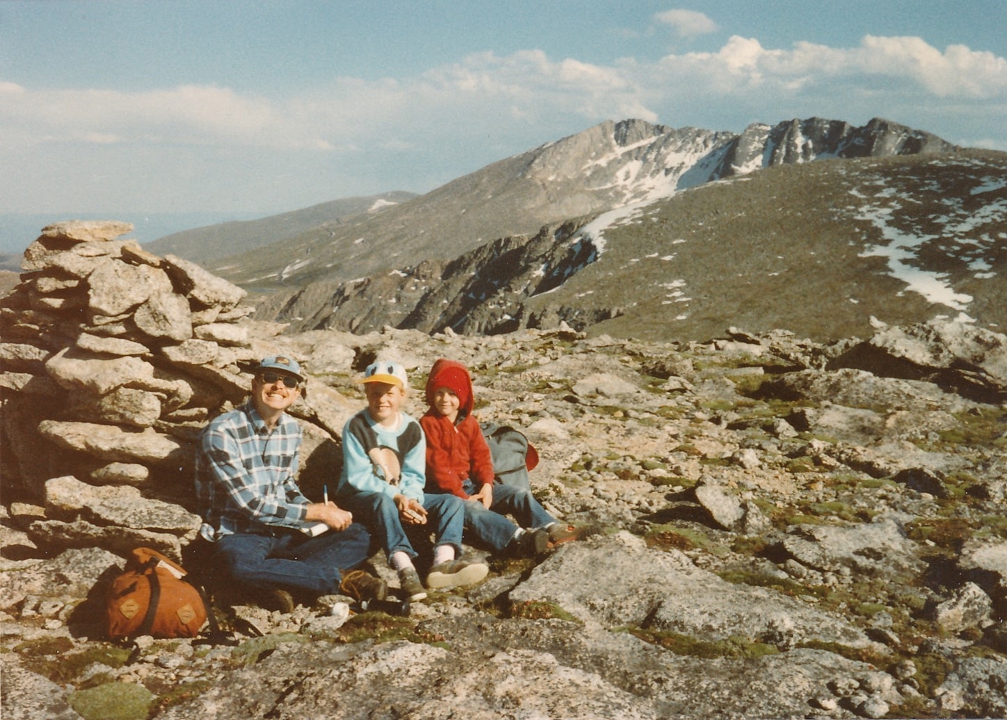
Gray Wolf Mountain is sequenced with Mount Spalding, an unranked 13er north of Mt. Evans. Gray Wolf ranks in the Top 200 summits. From the summit of Mt. Spalding, Gray Wolf is an easy Class 2 stroll across a wide and gentle basin that forms the head of the north fork of Scott Gomer Creek. All three route possibilities we provide for Spalding can lead to a quick trip from Spalding to Gray Wolf. All three routes are passenger car accessible. The route up Chicago Creek is the longest. Pre-Lidar elevation was 13,602.
Gray Wolf Mtn via Guanella Pass Route
-
-
Guanella Pass TH
The trailhead is either of the two large parking areas near the summit of Guanella Pass. The trail to use is the one for Mt. Bierstadt on the east side of the road.
From I-70, take the Georgetown Exit 228 and drive east on 15th St. to a traffic circle. Proceed 1/4 of the way through the circle and exit south onto Argentine St. Drive south on Argentine then turn left onto 11th St. Turn right onto Rose St. and head south into the main part of town. Continue all the way to 2nd St. where you'll turn left and will be on SH 381. This is the Guanella Pass Road. Follow it south for 10 miles to the summit of Guanella Pass where there are two large, paved parking areas. On weekends, these can fill up completely and you'll find dozens of vehicles parked along the roadway. From Georgetown the road is paved all the way.
From US 285, take the turnoff for Guanella Pass at the town of Grant, west of Bailey. On this side, the road number is CR 62. Drive north for 12 miles to the pass and park where you find room. The road on this side is largely paved, but in generally worse shape than the Georgetown side.
Camping
National Forest campgrounds on the Georgetown side include: Clear Lake and Silver Lake. On the Grant side of the pass, campgrounds include Geneva Park, Burning Bear and Whiteside. All are fee-based and have vault toilets. Geneva Park and Whiteside do not have water. If you cannot find a camping spot at any of these (quite possible on weekends), then there are numerous at-large spots to choose from and car-camp pullouts. Just be careful to avoid private property and follow forest service rules.
-
From Mount Spalding
Open This Route in a New WindowFrom the lower parking lot at Guanella Pass, walk to the south end of the lot and head out on the Mt. Bierstadt Trail which goes south briefly, then turns east. After the trail passes below the south end of an unnamed lake, keep on the same trail until you reach the crossing of Scott Gomer Creek. Instead of crossing the creek, depart the trail and head NE. Coordinates for departing the trail should be close to these: N 39° 35' 38.81" W 105° 41' 51.22". As you walk NE the terrain stays generally open with avoidable groves of willows, but still plenty of marshy areas. You want to aim for an area of trees that grow up a slope north of Scott Gomer Creek. Aim for this second set of coordinates: N 39° 35' 53.56" W 105° 41' 32.34". Elevation 11,550 ft. Getting into these trees will help avoid the willows. Head up the steepening slope to an unnamed pond at 11,860 ft. that's just east of the Forest Boundary line on the USGS map. Continue up into the broad basin which holds the north fork of Scott Gomer Creek. Once above the cliff band that leads over to The Sawtooth, head for the west ridge of Spalding and follow it to the summit. Once above the trees, most of the terrain is tundra with increasing rock/boulders as you approach the summit of Spalding.
Return as you came (or thereabouts) or continue on to Gray Wolf.
Route Description
Year Climbed: 1987Gray Wolf Mountain is sequenced with Mt. Spalding. One way mileage and elevation gain are measured from the summit of Spalding. The route you choose to use to access Spalding will influence the overall round-trip mileage and elevation gain when Gray Wolf is included. Please be alert to those differences, however, with all three Spalding routes, the traverse over to Gray Wolf remains the same.
From the summit of Spalding, head directly north and downhill to cross the huge "playground" at the head of Scott Gomer Creek that lies between the two summits. Going down Spalding will be the most difficult part, there being mostly very rocky terrain, large boulders & rubble for the initial descent. As you near the Gray Wolf-Spalding saddle, the rock diminishes and the terrain changes over to mostly tundra with embedded rock. A nice relief. Begin your uphill hike from the saddle heading mostly north, then veering a little west to reach the summit which is still mostly tundra with embedded rock.
If you used the Guanella Pass route, then from the summit of Gray Wolf, work your way down on the mostly tundra slopes into the large basin between Gray Wolf and Spaulding. Follow the drainage WSW until you manage to pick up your ascent route from earlier in the day and then return to Guanella Pass.
Additional BETA
Links to other information, routes & trip reports for this peak that may be helpful. -

